


A New Eye in the Sky
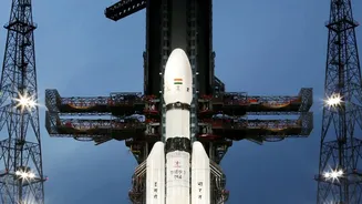
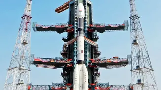
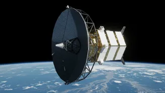
The game-changer is the NISAR (NASA-ISRO Synthetic Aperture Radar) satellite, a joint Earth-observing mission that represents a new chapter in the growing collaboration between the two space agencies. Launched from India's Satish Dhawan Space Centre,
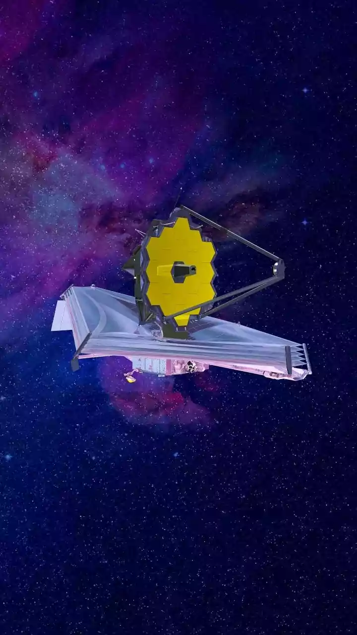
this sophisticated satellite is not just another camera in orbit. It is equipped with advanced dual-frequency radar instruments designed to monitor our planet's surface with remarkable precision. The mission's primary goal is to make global measurements of the causes and consequences of land surface changes. For India, one of its most critical applications is providing data that can transform disaster management, particularly for floods, landslides, and cyclones.
Seeing Through Clouds and Darkness
What makes NISAR so special for flood monitoring? The answer lies in its name: Synthetic Aperture Radar, or SAR. Unlike traditional optical satellites that function like cameras and are rendered useless by clouds or nighttime, SAR can see right through them. This is a crucial advantage, especially during India's monsoon season when flood events are most common and thick cloud cover is persistent. The satellite actively sends out microwave signals (in two different bands, L-band and S-band) and reads the echoes that bounce back. Smooth surfaces like open floodwaters send back a very different signal compared to dry or vegetated land, creating a clear, high-resolution map of inundated areas, regardless of the weather or time of day. This allows authorities to see the true extent of flooding on the ground even when it's hidden from view.
From Data to Actionable Warnings
Having powerful technology in space is one thing; making it useful on the ground is another. NISAR excels here by providing data with unprecedented speed and frequency. The satellite maps nearly the entire globe every 12 days, providing a consistent, reliable stream of information. In response to disasters, data can be made available within hours. ISRO's National Remote Sensing Centre processes this raw data, turning it into detailed flood inundation maps. These maps can show not just which areas are flooded, but also provide information on water depth and how the flood is evolving. This is a significant improvement over relying solely on ground-based river gauges, which can be sparse and may fail during extreme weather. By integrating this near real-time information into forecasting models, authorities can issue more accurate and timely warnings to communities downstream, giving them precious hours or even days to prepare and evacuate.
A Leap Forward for India's Defences
The NISAR mission significantly boosts India's already established space-based disaster management capabilities. Its ability to penetrate vegetation, thanks to its L-band radar, is particularly valuable for a densely vegetated country like India. It can detect waterlogging under forest canopies or submerged croplands, something that has been challenging with previous satellites. This provides a more accurate assessment of the damage to agriculture and ecosystems. As seen in recent observations of the Brahmaputra river in Assam, NISAR's data is already helping scientists and disaster managers track erosion and understand how the river's channels shift, which is vital for long-term flood preparedness in one of India's most flood-prone states. The data, now publicly available through ISRO's Bhoonidhi portal, empowers researchers, state governments, and planning agencies to build more resilient infrastructure and make smarter choices about land use.