



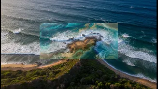


What’s New: A High-Tech Handshake
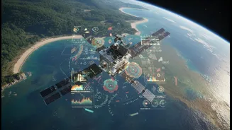
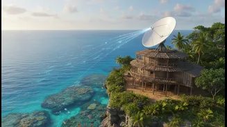
The collaboration between satellite technology and Traditional Ecological Knowledge (TEK) is entering a new, more dynamic phase. For years, scientists have used satellite remote sensing to monitor large-scale coastal changes like erosion, sea-level rise,
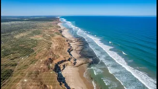
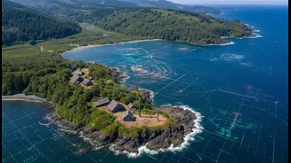
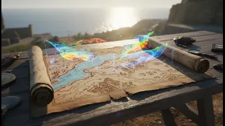
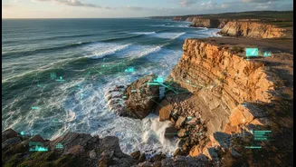
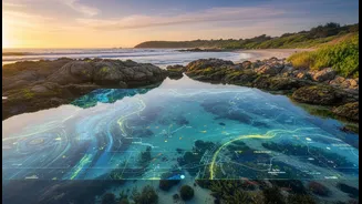
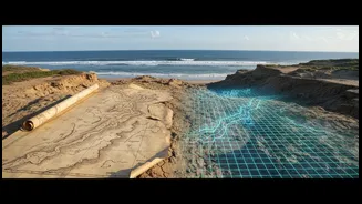
and water quality. What’s new is the increasing integration of this high-level data with the deeply nuanced, place-based observations of Indigenous peoples. Recent projects across the globe showcase this synergy. In the Pacific Northwest of the US, researchers are combining satellite-derived shoreline data with local field observations to improve accuracy and create cost-effective monitoring systems. In a recent project in Maine, USA, elementary school students from the Passamaquoddy Tribe used NASA satellite images alongside elders' stories and historical maps to study and measure coastal erosion in their community, blending Western science with their own cultural heritage. Similarly, projects in the Pacific Islands use satellite imagery to overcome the challenge of monitoring vast coastlines, with field data from local communities helping to verify and improve the accuracy of the maps. This isn't just about looking at pictures; it involves using advanced algorithms and even AI to process satellite data, which can then be validated and enriched by local accounts of shifting currents or changes in marine life.
What Matters: A More Complete Picture
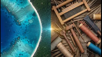
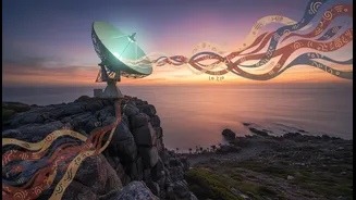
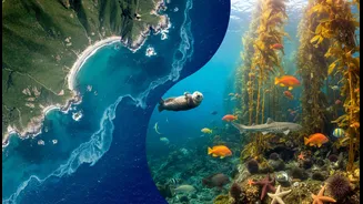
The fusion of these two knowledge systems matters because each sees what the other cannot. Satellites provide a broad, quantitative overview—the “what” and “where” of coastal change over vast areas. But this data often lacks historical depth and local context. Indigenous knowledge, passed down through generations, provides the long-term, qualitative narrative—the “why” and “how.” It holds information about historical ecosystem patterns, subtle shifts in biodiversity, and the cultural significance of places that no sensor can detect. For example, local fishers in a Mexican coastal lagoon were able to provide crucial explanations for patterns of erosion and turbidity that were first identified by satellites, pointing to factors like vessel traffic and illegal fishing. This combination leads to a more holistic understanding, creating a stronger foundation for effective coastal management. Beyond better data, this collaboration fosters equity. It empowers Indigenous communities, whose knowledge has often been marginalized, by giving them a central role in environmental stewardship and decision-making. When done respectfully, it helps ensure that conservation and climate adaptation strategies are not only scientifically sound but also culturally appropriate and just.
What Remains Unclear: Navigating the Challenges
Despite its immense potential, this integration is not without serious challenges. A primary concern is the issue of Indigenous Data Sovereignty—the right of Indigenous peoples to control data from and about their communities and lands. Historically, outside researchers have sometimes extracted traditional knowledge without proper consent, compensation, or benefit to the community. As these partnerships grow, establishing clear protocols for data ownership, access, and use is crucial to avoid repeating these extractive patterns. There is also a fundamental challenge in merging two different worldviews. Traditional knowledge is often holistic, qualitative, and conveyed through stories, while satellite data is quantitative and follows Western scientific methods. Translating between these systems without losing the richness and context of Indigenous knowledge is a complex process that requires deep respect and co-development from the very beginning. Finally, practical issues like long-term funding, building lasting trust, and avoiding tokenistic consultation remain significant hurdles. For these collaborations to be truly successful and sustainable, they need to move beyond individual projects and become embedded in institutional practice and policy.