





What Exactly is Remote Sensing?
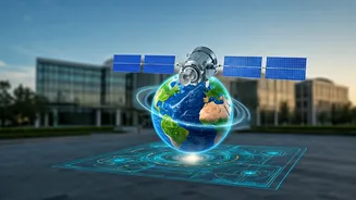
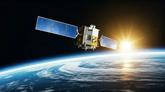
At its core, remote sensing is the science of gathering information about an object or area without physically being there. Think of it as taking Earth's pulse from a distance. The most common methods use sensors on satellites or aircraft to detect and
measure radiation that is reflected or emitted from the planet's surface. Specialised cameras and sensors collect this data, which is then processed into images and models that reveal characteristics of our environment that are invisible to the naked eye. There are two main types: passive remote sensing, which relies on natural energy like sunlight, and active remote sensing, which sends out its own signal—like radar or LiDAR—and measures what bounces back.
Why It's Booming In India Right Now
India's focus on national development, resource management, and digital infrastructure has created the perfect storm for remote sensing to flourish. For decades, the Indian Space Research Organisation (ISRO) has been a pioneer, using its satellite constellations for everything from weather forecasting to urban planning. Today, this technology is critical for major government initiatives. It is used for crop acreage and production estimates, monitoring drought conditions, assessing flood damage in near real-time, and biennial forest cover mapping. A major catalyst has been policy reform. The National Geospatial Policy 2022 has liberalised the sector, democratising access to previously restricted data. This move is designed to make India a global geospatial leader, creating a massive opportunity for private companies, startups, and skilled professionals to innovate and build new services. India's geospatial economy is already estimated at around ₹50,000 crore and is expected to double by 2030, signaling immense growth.
The Sectors Driving Demand
The applications for remote sensing are vast and cut across nearly every major sector in India. In agriculture, it’s revolutionising farming by enabling precision agriculture, monitoring crop health, and providing data for insurance schemes. In urban planning, it helps cities manage expansion, map utilities, and improve infrastructure. For disaster management, the technology is invaluable, providing critical data for tracking cyclones, assessing earthquake damage, and managing flood response. Other key areas include natural resource management, where it is used to monitor forests, map wetlands, and manage water resources. The defence, telecommunications, and environmental conservation sectors are also significant employers of remote sensing talent. The liberalisation of data policies means even more industries, from logistics to real estate, are now exploring how to integrate this location intelligence into their operations.
How to Build a Career in Remote Sensing
A career in remote sensing blends geography, data science, and technology. The foundational skill is proficiency in Geographic Information Systems (GIS) software like ArcGIS and the open-source QGIS. Understanding how to process and analyse different types of satellite imagery, including optical and radar (SAR) data, is crucial. As the field is increasingly data-driven, skills in programming languages like Python are highly sought after for automating tasks and building custom analysis tools. A strong foundation in spatial analysis and data modelling will set you apart. For those starting out, India offers a wealth of educational opportunities. The Indian Institute of Remote Sensing (IIRS) in Dehradun, part of ISRO, is a premier institution offering everything from short-term courses to M.Tech and PG Diploma programmes. Many other universities and private institutes now offer specialised training in geospatial technologies to meet the growing demand.