





Our Eyes in the Sky
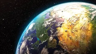
India has one of the world's largest constellations of remote sensing satellites in operation. This robust network, which includes series like Resourcesat, Cartosat, and the INSAT systems, functions as the country's eyes in the sky. Earth observation
(EO) satellites are designed to gather information about our planet's physical, chemical, and biological systems from orbit. Since the launch of the first Indian Remote Sensing (IRS) satellite in 1988, ISRO has systematically built a powerful capability to monitor land, ocean, and atmosphere. These satellites provide a continuous stream of data at varying resolutions, allowing for everything from large-scale environmental monitoring to detailed urban mapping. This information is the backbone for a vast range of applications that drive national development and security.
Revolutionising Indian Agriculture
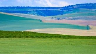
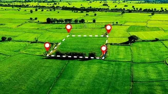
With over half of India's land area used for farming, the agricultural sector is a lifeline for millions. Satellites have become an indispensable tool for modernising this critical field. Through programmes like FASAL, ISRO's satellite data provides pre-harvest production estimates for major crops like wheat and paddy across hundreds of districts. This helps in making informed decisions about food security and pricing. Remote sensing allows for the monitoring of crop health, soil moisture, and pest infestations. By analysing this data, farmers can apply water and fertilisers more efficiently, a practice known as precision farming, which improves yields and promotes sustainability. This technology is especially vital for India's many small farms, providing insights that were previously impossible to gather at such a large scale.
A Shield Against Natural Disasters
India's geography makes it vulnerable to a range of natural disasters, including floods, cyclones, and landslides. ISRO's Disaster Management Support (DMS) programme plays a pivotal role in mitigating these threats. Satellites like the INSAT series provide near real-time tracking of cyclones, allowing meteorological agencies to issue timely warnings that save countless lives. During floods, satellite imagery helps map the extent of inundated areas, guiding rescue and relief operations to where they are needed most. The data is shared with national and state disaster management authorities through portals like Bhuvan and the National Database for Emergency Management (NDEM), ensuring that decision-makers have the critical information they need to respond effectively.
Building Smarter and Sustainable Cities
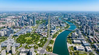
As India's urban population continues to grow, so does the pressure on infrastructure and resources. Satellite data provides a powerful solution for effective urban planning. High-resolution imagery from satellites like Cartosat allows city planners to monitor urban sprawl, detect unauthorised construction, and manage land use changes in near real-time. This technique, known as change detection, is vital for ensuring that cities grow in a planned and sustainable manner. This data helps in everything from planning new road networks and optimising public transport to monitoring green cover and managing water resources, forming the foundation for India's Smart Cities Mission.
The Future: Deeper Insights with NISAR
The next leap in India's Earth observation capability comes from the NISAR (NASA-ISRO Synthetic Aperture Radar) mission. This pioneering satellite, a joint project between ISRO and NASA, is equipped with advanced dual-frequency radar that can see through clouds and darkness. NISAR will map the entire globe every 12 days with incredible precision, detecting ground movements as small as a centimetre. This will provide unprecedented insights into processes like glacier melt, groundwater depletion, and the subtle land deformations that can be precursors to earthquakes and landslides. The data from NISAR will be free and open, benefiting the global scientific community and enhancing our ability to manage climate change and natural hazards.