


An Unblinking Eye on the Himalayas
For a country like India, home to a vast and vulnerable stretch of the Himalayas, this view from space is not just fascinating—it's critical. Mountainous regions are often the first to feel the effects of climate change, but their rugged and inaccessible
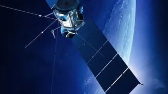
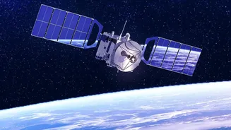
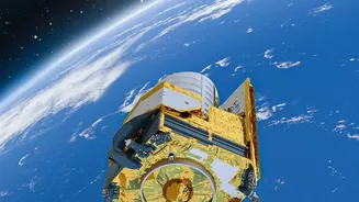
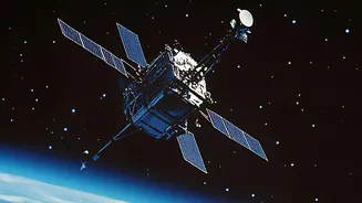
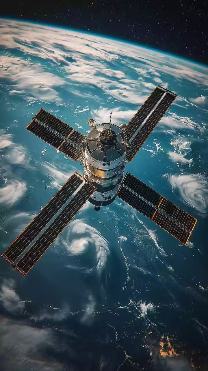
nature makes on-the-ground study difficult and dangerous. Satellite remote sensing cuts through these challenges. With their wide coverage and ability to revisit the same spot repeatedly, satellites provide a continuous and reliable stream of data, allowing scientists at organisations like the Indian Space Research Organisation (ISRO) to monitor changes with incredible precision. This technology helps us understand everything from water security to disaster vulnerability, turning vast, complex mountain ranges into landscapes we can analyse and protect.
Tracking Shrinking Glaciers
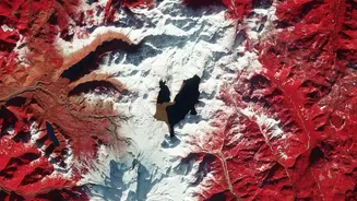
Perhaps the most dramatic story satellites tell is that of our planet's glaciers. The Himalayas, often called the 'Third Pole', are home to an immense store of ice and snow that feeds major rivers like the Ganges and Brahmaputra, supporting hundreds of millions of people. Satellite data, including declassified spy satellite images from past decades, provides an irrefutable, long-term record of glacial retreat. By comparing images over time, scientists can measure how quickly glaciers are shrinking, thinning, and flowing. This isn't just an academic exercise; the retreat of these glaciers directly impacts water availability and is a clear indicator of a warming climate. For instance, some ISRO analyses have found that while many glaciers show retreat, the situation is complex, with a small percentage even advancing, highlighting the need for continuous monitoring.
The Growing Danger of Glacial Lakes
As glaciers melt, they form large bodies of water known as glacial lakes, often held back by unstable dams of rock and ice. These lakes pose a significant threat in the form of Glacial Lake Outburst Floods (GLOFs), which can release catastrophic amounts of water downstream with little warning. Satellite imagery is our frontline tool for GLOF risk management. An ISRO analysis of images from 1984 to 2023 found that of the thousands of glacial lakes larger than 10 hectares, hundreds have expanded significantly. One lake in Himachal Pradesh grew by 178% between 1989 and 2022. By using high-resolution satellite data to monitor lake expansion, water levels, and the stability of surrounding terrain, authorities can identify high-risk areas and develop crucial early warning systems.
Spotting Unstable Ground from Space
The same forces changing glaciers also affect the stability of the ground itself. Steep mountain slopes, combined with changes in rainfall and melting permafrost, make many parts of the Himalayas prone to landslides. Satellite data is invaluable for mapping and even predicting these hazards. ISRO's National Remote Sensing Centre (NRSC) has created a database of nearly 80,000 landslides across India, using decades of satellite imagery. Furthermore, advanced Synthetic Aperture Radar (SAR) satellites, like the joint ISRO-NASA NISAR mission, can detect tiny changes in the ground surface. By creating 'deformation maps' every few days, scientists can identify areas where strain is building up, offering a potential advance warning of land subsidence and heightened earthquake risk.
A Greener, But More Fragile, Landscape
Satellites don't just see ice and rock; they also track life. Using specific light spectrums, satellites measure the 'greenness' of vegetation, revealing how plant life is responding to a changing climate. Studies across the world's mountains show a widespread 'greening' trend, where vegetation is shifting to higher altitudes as temperatures rise. This includes the expansion of shrubs into areas that were once alpine meadows. While this might sound positive, it can signal a profound disruption of fragile ecosystems, impacting biodiversity and the availability of traditional grazing lands. Satellite observations help scientists monitor these shifts across vast landscapes, providing essential data for conservation and land management planning.