


You Can't Manage What You Can't Measure
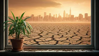
The core challenge of sustainability is its scale. How do we know if a forest is shrinking, if an ice cap is melting, or if a nation is meeting its emissions targets? The answer lies in objective, verifiable data. For decades, environmental efforts were
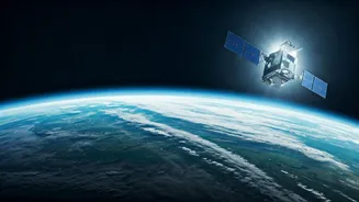
based on localized studies and projections. Satellites changed everything. They provide a constant, impartial, and global view of Earth's vital signs, transforming sustainability from a noble intention into a data-driven science. Without this perspective from space, our understanding of climate change, resource depletion, and biodiversity loss would be fragmented and incomplete. This orbital infrastructure is the bedrock upon which modern environmental policy and action are built.
Tracking a Changing Climate
Perhaps the most critical role for satellites is monitoring the direct impacts of climate change. A vast network of orbital sensors acts as a planetary health check-up. Satellites like NASA's ICESat-2 use lasers to measure the thickness of ice sheets in Greenland and Antarctica with stunning precision, providing undeniable proof of melting. Others, like the joint European-US Jason series, track global sea-level rise down to the millimetre. Furthermore, missions such as the Orbiting Carbon Observatory (OCO-2) map carbon dioxide concentrations in the atmosphere, helping scientists pinpoint emission sources and understand how carbon moves around the globe. This data is not just for academic papers; it’s the evidence presented at global climate summits and the basis for international agreements.
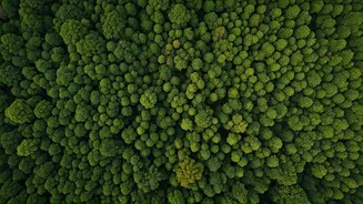
Protecting Our Forests and Farms
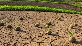
On the ground, satellites are empowering us to be better stewards of our land. For India, a nation with vast agricultural lands and precious forests, this technology is a game-changer. Satellite constellations, including India's own Resourcesat and Cartosat series, provide detailed imagery that can detect illegal deforestation in near real-time, allowing authorities to act before entire ecosystems are lost. In agriculture, this same technology fuels ‘precision farming.’ By analysing satellite data on soil moisture, crop health, and weather patterns, farmers can apply water and fertilisers only when and where they are needed. This not only increases yields and reduces costs but also minimises the environmental impact of modern farming by preventing excess chemical runoff into our waterways.
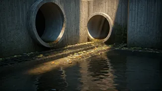
Policing Pollution and Disasters
The eye in the sky is also a powerful tool for environmental justice and disaster management. Satellites can detect invisible plumes of pollutants like nitrogen dioxide and methane, tracking them back to their source and holding polluters accountable. This is vital for monitoring air quality in and around major Indian cities. When an oil tanker spills its cargo at sea or a factory illegally dumps waste, satellite radar can spot the slicks on the water's surface, even at night or through clouds. In the face of natural disasters like cyclones and floods—which are becoming more frequent and intense—satellites provide the first images of the affected areas, guiding rescue teams, assessing damage, and helping communities plan their recovery and build back more resiliently.