


Seeing Through Clouds and Darkness
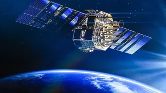
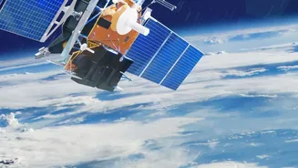
Imagine a satellite that can take clear pictures of the Earth's surface at any time, day or night, regardless of clouds, rain, or fog. That’s the superpower of Synthetic Aperture Radar, or SAR. Unlike traditional optical satellites that work like a camera
and need light, SAR is an 'active' technology. It sends its own microwave pulses down to the surface and then records the signals that bounce back. This allows it to create detailed, high-resolution images in conditions where a normal camera would see nothing but clouds or darkness. ISRO has been a pioneer in this field, developing its own Radar Imaging Satellites (RISAT), which are crucial for all-weather observation of the Indian subcontinent.
How 'Synthetic Aperture' Works
You might wonder about the 'synthetic' part of the name. In radar technology, a larger antenna generally produces a higher-resolution image. However, launching a satellite with a massive, kilometres-long physical antenna is not practical. SAR technology cleverly gets around this by using the motion of the satellite itself. As the satellite orbits over a target area, it continuously sends out pulses and collects the echoes. By combining all this data, it 'synthesizes' a much larger virtual antenna than its physical one. This 'synthetic aperture' is what allows a relatively small satellite to create incredibly detailed images from hundreds of kilometres up in space.
From Floods to Forests: Why SAR Matters for India
The all-weather, day-and-night capability of SAR makes it incredibly valuable for a country like India. Its applications are vast and critical. During natural disasters like floods and cyclones, SAR can see through the cloud cover to map the extent of flooding and help guide rescue operations. It's used in agriculture to monitor crop health and soil moisture, helping to ensure food security. In defence, it provides vital surveillance and reconnaissance capabilities. Furthermore, SAR is used for monitoring deforestation, detecting oil spills at sea, tracking glacier movements in the Himalayas, and managing urban planning. The upcoming NISAR mission, a joint project between NASA and ISRO, will further enhance these capabilities, making SAR skills more valuable than ever.
The ISRO Opportunity: Free Expert Training
Recognizing the growing importance of this technology, the Indian Institute of Remote Sensing (IIRS), a key centre of ISRO in Dehradun, regularly conducts free online courses for students and professionals. These outreach programs aim to build capacity in geospatial technologies. While specific dates for courses on SAR data processing are announced periodically, these training sessions are a recurring feature of the IIRS academic calendar. These courses are conducted online via a dedicated e-learning platform, making them accessible to students across the country at no cost. Participants receive study materials, access to recorded lectures, and a certificate upon successful completion with a minimum attendance.
Is This Course for You?
These training programs are typically designed for a wide audience. Undergraduate and postgraduate students (B.Sc, M.Sc, B.Tech, M.Tech) are primary participants. However, technical or scientific staff from government departments, as well as faculty and researchers at universities, are also encouraged to apply. The main prerequisite is a foundational understanding of remote sensing and digital image processing, as the courses delve into topics like SAR data processing, geocoding, orthorectification, and specific applications using data from Indian satellites like RISAT-1A. If you are studying geography, geology, environmental science, computer science, or engineering, this training can provide a significant boost to your profile.
How to Get Started
Getting enrolled is a straightforward process. The first step is to keep an eye on the official IIRS website (iirs.gov.in) for course announcements. When a course is announced, registration happens through the IIRS e-learning portal. Students typically need to register themselves, and sometimes their institution must also be registered as a nodal centre. The courses are delivered through the E-CLASS platform, which only requires a stable internet connection. All course materials, including lecture slides and videos, are provided to the participants, ensuring you have all the resources needed to succeed. Since these opportunities are free and offered by ISRO itself, they are highly sought after, so it's wise to apply as soon as a relevant course is announced.