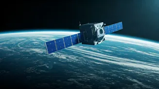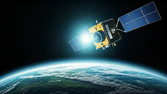


From Photos to Data Streams
For decades, satellites have provided us with breathtaking images of Earth, showing us the fragile 'blue marble' from a distance. These images were powerful but often static. Today, that has fundamentally changed. We've moved from occasional snapshots
to a constant, high-resolution data stream. Companies like Planet Labs operate constellations of hundreds of small satellites that image the entire landmass of the Earth every single day. This isn't just for making pretty maps; it’s about creating a searchable, queryable database of our planet. This shift allows scientists, governments, and corporations to track changes in near-real time, turning passive observation into active monitoring.
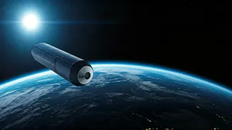
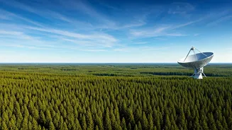
Hunting Pollution from Orbit
Some of the biggest threats to our climate are invisible. Methane, for instance, is a potent greenhouse gas, over 80 times more powerful than carbon dioxide in the short term. The challenge has always been pinpointing its source. Enter hyperspectral satellites. Missions like NASA’s EMIT (Earth Surface Mineral Dust Source Investigation) and private ventures like GHGSat are designed to 'sniff out' these emissions from space. They can identify the unique light signature of methane and other pollutants, tracing massive plumes back to their specific origin—a leaky pipeline, a specific landfill, or an industrial facility. This capability transforms environmental regulation from a guessing game into a precise, data-driven science, allowing for accountability and rapid mitigation.
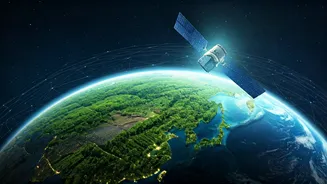
Guarding Forests and Oceans
The daily coverage from satellite constellations is a game-changer for combating illegal deforestation and mining. Authorities can now receive alerts within 24 hours of a new clearing appearing in a protected rainforest, enabling them to intervene before widespread damage is done. Previously, such activities might go unnoticed for months. The same technology is being applied to our oceans. Satellites can now detect and track large accumulations of plastic debris, monitor the health of coral reefs by observing changes in colour, and identify illegal fishing vessels that have turned off their public tracking systems. This 'eye in the sky' provides an unprecedented layer of enforcement and understanding for our planet’s most vital and vulnerable ecosystems.
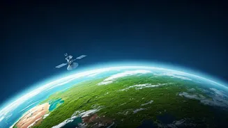
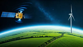
Smarter Farming for a Healthier Planet
Agriculture is another sector being quietly revolutionised. Precision agriculture uses satellite data to give farmers a detailed view of their fields. By analysing imagery that shows crop health, soil moisture, and nutrient levels, farmers can apply water and fertiliser with surgical precision. Instead of treating an entire field uniformly, they can target specific areas that need support, drastically reducing waste, cost, and the environmental runoff of excess chemicals into rivers and groundwater. This not only improves crop yields and farmer profitability but also significantly lessens the environmental footprint of modern farming, making it a crucial tool for sustainable food production.