






What Exactly Is El Niño?
El Niño is one phase of a larger phenomenon called the El Niño-Southern Oscillation (ENSO), a recurring climate pattern. In simple terms, El Niño is characterized by the unusual warming of the sea surface waters in the central and eastern tropical Pacific
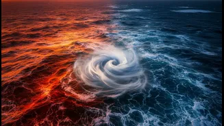
Ocean. This warming, which can last for several months, occurs irregularly every two to seven years. Normally, strong trade winds blow from east to west across the Pacific, pushing warm surface water towards Asia and allowing cooler water to rise up along the coast of South America. During an El Niño, these trade winds weaken or even reverse. As a result, the large pool of warm water is no longer confined to the western Pacific and spreads eastward, disrupting atmospheric patterns on a global scale.
The Direct Impact on India's Monsoon
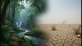
For India, El Niño's most significant impact is on the southwest monsoon. The monsoon is essentially driven by the temperature difference between the hot Indian landmass and the cooler Indian Ocean. El Niño messes with this engine. The warming of the Pacific Ocean alters global air circulation patterns, including the Walker Circulation, which is linked to our monsoon winds. This disruption typically weakens the monsoon circulation. The result is often reduced rainfall across the subcontinent, which can lead to drought-like conditions. Historically, many of India's major drought years have coincided with strong El Niño events. However, the impact isn't uniform; studies show the link is stronger for North and South India, but has weakened over the core monsoon zone in Central India in recent decades.
Beyond the Monsoon: Heatwaves and Winter
While its effect on the monsoon gets the most attention, El Niño's influence doesn't stop there. It is also strongly associated with higher-than-average temperatures across India, often leading to more frequent and intense heatwaves during the summer months. This is because the altered atmospheric patterns can lead to clearer skies and less pre-monsoon shower activity, allowing temperatures to soar. The impact can also be felt in winter, which can become warmer than usual in many parts of the country. This disruption to seasonal norms affects everything from public health and energy demand to agriculture and water reservoir levels.
The Counterpart: What is La Niña?
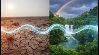
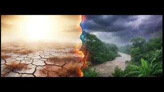
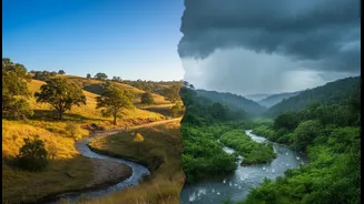
The ENSO cycle also has a cool phase, called La Niña, which is essentially the opposite of El Niño. During a La Niña event, the trade winds become even stronger than usual, pushing more warm water toward Asia and increasing the upwelling of cold water in the eastern Pacific. For India, La Niña is often a welcome guest. It tends to be associated with a stronger-than-normal monsoon, bringing ample rainfall. It can also lead to harsher, colder winters, particularly across North India. Understanding both phases helps provide a more complete picture of the forces at play in our weather.
It's Not a One-Man Show: The Indian Ocean Dipole
El Niño is a major driver, but it's not the only one. Another critical factor is the Indian Ocean Dipole (IOD), sometimes called the Indian Niño. The IOD refers to the difference in sea surface temperatures between the western and eastern parts of the Indian Ocean. A 'positive' IOD, with warmer waters in the western Indian Ocean near Africa and cooler waters in the east, can actually help the Indian monsoon. Crucially, a strong positive IOD can sometimes counteract the negative effects of an El Niño, potentially resulting in a normal monsoon even in an El Niño year. In 1997 and 2019, for instance, a positive IOD helped offset El Niño's drying influence. Conversely, a 'negative' IOD can worsen the effects of El Niño.