





A Disappearing World
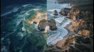
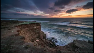
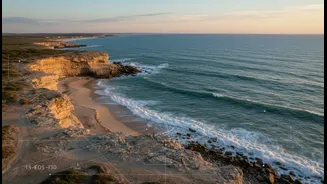
From the Sundarbans to the shores of Kerala, coastal erosion is a slow-motion crisis. Rising sea levels and increased storm frequency, both driven by climate change, are eating away at the land, threatening homes, livelihoods, and critical infrastructure.
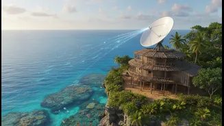
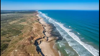
For decades, the primary tool for monitoring this vast and complex problem has been technology. Satellites orbiting hundreds of miles above Earth provide a critical, large-scale view, allowing scientists to track shoreline changes over time with remarkable precision. This high-tech approach captures broad patterns of loss and accretion, offering invaluable data for long-term planning. But the view from space, for all its power, doesn't tell the whole story. It can show what is happening, but often misses the crucial context of why and what it means for the people who live there.
Knowledge Rooted in Place
For the communities that have lived on these coastlines for centuries, the land is a living entity. Indigenous knowledge, often called Traditional Ecological Knowledge (TEK), is a cumulative body of wisdom passed down through generations. It is a deep, place-based understanding of the environment, encompassing everything from the behavior of currents and the quality of sea ice to the historical location of channels and the impact of specific storms. This knowledge isn't stored in datasets; it lives in stories, cultural practices, and the direct observations of elders who can recall how a coastline looked decades ago. As one observer noted in a project in Maine, “Our people were scientists without having to go to school.” This 'ground truth' provides a rich, qualitative understanding that satellite data alone cannot capture.
A Powerful Combination
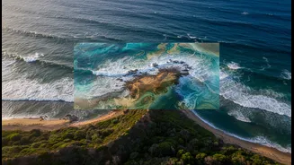
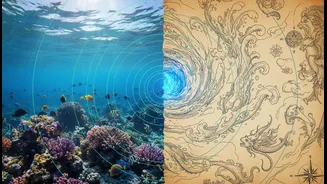
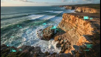
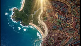
The most exciting new frontier in erosion research lies in braiding these two powerful ways of knowing together. Projects around the world, from the Arctic to North America, are demonstrating the incredible potential of this approach. In one recent initiative at the Sipayik Reservation in Maine, students and researchers are merging NASA satellite data with the traditional knowledge of the Passamaquoddy people to study accelerating shoreline loss. The satellite data quantifies the erosion, while the community's historical knowledge—including 300-year-old tribal maps—provides context and explains the changes. Similarly, the Indigenous Sentinels Network in Alaska equips local observers to collect environmental data that combines TEK with scientific methods, filling critical gaps in understanding a vast and rapidly changing landscape. This synergy is transformative: satellite data might detect a large-scale shift, but local knowledge can explain that it was caused by a change in sea ice patterns that prevented the formation of a protective barrier, a nuance invisible from space.
More Than Just Data
This collaborative model is about more than just better science; it represents a fundamental shift in how knowledge is valued. For too long, scientific research has often excluded or dismissed Indigenous perspectives. Integrating TEK into modern research is an act of respect and a step toward decolonizing science. It requires building trust and ensuring that community knowledge is used ethically and for the benefit of the people who steward it. When successful, it empowers communities to become active participants in monitoring and managing their own lands and waters. This process fosters resilience, linking cultural identity and heritage to practical solutions for adapting to a changing world. As communities across India face their own coastal challenges, these collaborative frameworks offer a promising blueprint.