






The Planet's Great Connectors
It can be hard to imagine that a patch of warm water in the distant Pacific Ocean could determine whether a farmer in central India has a successful harvest. Yet, that is the reality of our interconnected climate system. The world's oceans and atmosphere
are in a constant dance, exchanging heat and moisture. This creates large-scale patterns, known as 'teleconnections', that link weather events across vast distances. For India, the most critical weather event is the annual southwest monsoon, which delivers about 70-90% of the country's rainfall. The health of this monsoon is deeply influenced by two major oceanic phenomena: the El Niño-Southern Oscillation (ENSO) in the Pacific and the Indian Ocean Dipole (IOD) closer to home.
The Pacific's Powerful Duo: El Niño and La Niña
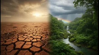
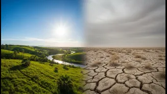
The El Niño-Southern Oscillation is a recurring climate pattern in the tropical Pacific Ocean. In a normal year, trade winds push warm surface water towards Asia, piling it up near Indonesia. This creates a low-pressure system that helps pull moisture-laden winds towards India, strengthening the monsoon. During an El Niño event, these trade winds weaken, and the warm water sloshes back towards South America. This flips the atmospheric script: the low-pressure system over the western Pacific weakens and shifts away, which can suppress monsoon rainfall over India, often leading to drier conditions and even droughts. In fact, historically, 10 out of 13 droughts in India since 1950 have occurred during El Niño years. Conversely, its counterpart, La Niña, involves a cooling of the same Pacific waters. This intensifies the normal pattern, typically bringing stronger trade winds and a more generous monsoon to India.
The Indian Ocean's Own Climate Driver
While ENSO is a major player, the Indian Ocean has its own climate system called the Indian Ocean Dipole (IOD), sometimes referred to as the Indian Niño. It measures the temperature difference between the western Indian Ocean (near the Arabian Sea) and the eastern Indian Ocean (near Indonesia). In a 'positive' IOD phase, the western Indian Ocean becomes warmer than average, while the eastern side cools. This temperature gradient helps push more moisture-filled air towards the Indian subcontinent, potentially boosting monsoon rainfall. A 'negative' phase does the opposite, with warmer waters in the east and cooler waters in the west, which can hinder the monsoon. A 'neutral' phase means the temperature difference is near normal and the IOD has little influence.
A Complicated Dance of Interactions
These systems don't operate in isolation. The final outcome for India's monsoon often depends on how El Niño and the IOD interact. A strong El Niño is a powerful force for a weaker monsoon. However, a strong positive IOD can sometimes act as a buffer, counteracting the drying effects of an El Niño by providing an alternative source of moisture from the west. This complex interplay is why not every El Niño year results in a severe drought. Adding another layer of complexity, recent studies show that the overall warming of the Indian Ocean, which is heating up faster than other tropical oceans, is also altering rainfall. An increase in short-lived marine heatwaves can disrupt monsoon winds, leading to less rain over central India and more over the southern peninsula.
The Forecast for 2026
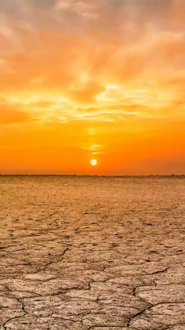
So, what are the oceans telling us about 2026? According to multiple meteorological agencies, a strong El Niño event is developing and expected to intensify through the remainder of the year. The India Meteorological Department (IMD) has consequently forecast a 'below-normal' monsoon for 2026, at around 90-92% of the long-period average. This raises concerns for agriculture and water availability. The El Niño is also expected to lead to warmer temperatures, increasing demand for power for cooling. Meanwhile, the Indian Ocean Dipole is currently neutral but is forecast to potentially shift into a positive phase during the monsoon season. While a positive IOD could offer some relief, current forecasts are varied on its potential strength. As of early July 2026, the monsoon has advanced across many parts of the country, but the forecast for the crucial month of July points towards below-normal rainfall for most regions.