






The View From Above
For millions, the Indian monsoon is a season of contrasts, bringing life-giving rains for agriculture but also the threat of devastating floods and landslides. Traditionally, predicting the exact where and when of heavy rainfall has been a monumental
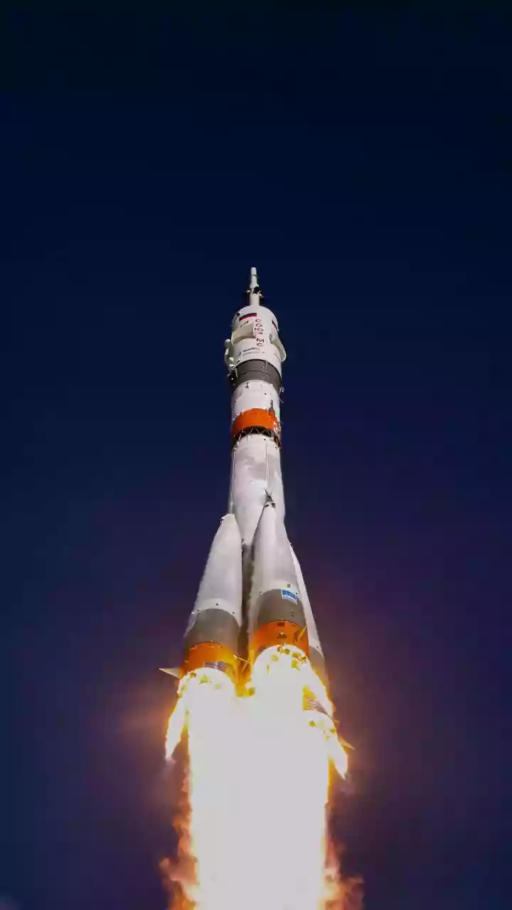
challenge. Ground-based weather stations provide crucial data, but they can’t capture the full, dynamic picture of massive weather systems churning over the seas and land. This is where the Indian Space Research Organisation (ISRO) has become a game-changer. By deploying a sophisticated fleet of Earth observation satellites, ISRO is providing a continuous ‘eye in the sky’ that is revolutionising how we track, understand, and respond to heavy rainfall events across the subcontinent.
ISRO's Weather Warriors
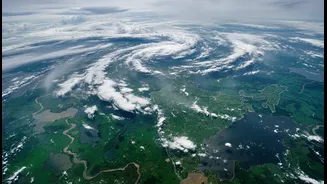
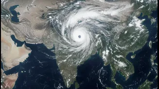
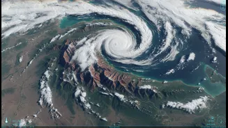
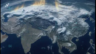
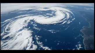
At the forefront of this effort are satellites from the INSAT (Indian National Satellite System) series, such as INSAT-3DR and INSAT-3DS. These are geostationary satellites, meaning they orbit in sync with the Earth’s rotation and stay over a fixed point, allowing for constant monitoring of the Indian subcontinent. They are equipped with advanced instruments, including imagers and sounders, that capture data across different light spectrums. Thermal infrared imagery, for instance, helps meteorologists see the temperature of cloud tops; colder, brighter clouds often indicate towering thunderclouds capable of producing intense downpours. Recent images released in early July 2026 showed massive monsoon systems drenching Maharashtra and West Bengal, with the satellite clearly revealing the deep convective activity fuelling the heavy rain. Other satellites like the Oceansat series monitor the oceans, providing critical data on sea surface temperatures and winds that are the building blocks of monsoon systems and cyclones.
From Raw Data to Actionable Alerts
Seeing the clouds is one thing; turning that information into a life-saving warning is another. This is where the crucial collaboration between ISRO and the India Meteorological Department (IMD) comes in. ISRO provides the raw satellite data, which feeds into the IMD’s advanced numerical weather prediction models. In fact, over 90% of the data used in these models is now satellite-based, which has significantly improved the accuracy of short to medium-range forecasts. This synergy allows forecasters to see not just where the clouds are, but where they are moving, how they are developing, and how much moisture they hold. This leads to more precise and timely alerts for heavy rainfall, thunderstorms, and cyclones, giving authorities and the public crucial time to prepare.
Beyond Forecasting: Managing the Aftermath
ISRO’s role extends far beyond forecasting the rain. When heavy rains lead to floods, another set of satellites using Synthetic Aperture Radar (SAR) comes into play. Unlike optical satellites, SAR can see through clouds and darkness, making it invaluable for mapping the extent of flood inundation in near real-time. These flood inundation maps are disseminated rapidly to disaster management agencies like the National Disaster Management Authority (NDMA) and state-level bodies. This information is critical for planning rescue and relief operations, identifying stranded populations, and assessing damage to infrastructure and agriculture. Over the years, ISRO has compiled a Flood Hazard Zonation Atlas for various states, using historical satellite data to identify areas most at risk, helping to build long-term resilience.
A Clearer, Safer Future
The integration of satellite technology into weather forecasting and disaster management is constantly evolving. The use of Artificial Intelligence (AI) to process the vast amounts of satellite data is making forecasts even more localised and accurate. New systems are being developed to provide block-level predictions, a huge leap for farmers who need to make critical decisions about sowing and harvesting. While technology cannot stop the rain, ISRO’s satellite imagery is fundamentally changing India's relationship with the monsoon. By providing a clearer, more comprehensive story of the weather, it empowers a more proactive and effective response, helping to save lives and livelihoods from the vagaries of the monsoon.