







The Global Puppeteers: El Niño and La Niña
At the heart of this global connection are two opposing climate patterns: El Niño and La Niña. Together, they form the El Niño-Southern Oscillation (ENSO) cycle. Think of them as the warm and cool phases of the tropical Pacific. During an El Niño, which
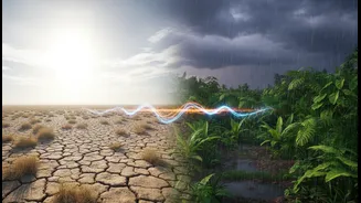
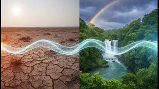
means 'the little boy' in Spanish, sea surface temperatures in the central and eastern Pacific Ocean become unusually warm. La Niña, or 'the little girl', is the opposite, characterised by cooler-than-average sea surface temperatures in the same region. This seemingly simple temperature shift in a distant ocean sets off a massive chain reaction in the atmosphere, disrupting weather patterns worldwide, with the Indian monsoon being particularly sensitive to its influence.
How El Niño Can Weaken the Monsoon
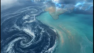
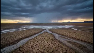
An El Niño event often spells trouble for India's monsoon. The large pool of warm water in the eastern Pacific heats the air above it, causing it to rise. This fundamentally alters a massive atmospheric circulation pattern known as the Walker Circulation. Normally, this circulation involves rising air and heavy rain over the warm waters of the western Pacific (near Indonesia) and sinking, dry air over the cooler eastern Pacific. During an El Niño, this entire loop shifts eastward. This shift causes increased pressure over the Indian Ocean, which suppresses cloud formation and weakens the crucial monsoon winds that are supposed to carry moisture from the sea to the Indian subcontinent. The result is often reduced rainfall and a higher probability of drought conditions across large parts of India.
La Niña: The Monsoon's Frequent Friend
If El Niño is the antagonist, La Niña often plays the role of a friend to the Indian monsoon. During a La Niña event, the normal Walker Circulation goes into overdrive. The trade winds become stronger, pushing more warm surface water toward the western Pacific. This intensifies the low-pressure system over the region, strengthening the atmospheric circulation that brings rain to India. This pattern generally enhances the moisture-laden monsoon winds, leading to a higher likelihood of normal or even above-average rainfall across the subcontinent. While beneficial for agriculture and water reservoirs, a very strong La Niña can also lead to excessive rainfall and flooding in some areas.
The Indian Ocean's Own Game Changer
The Pacific, however, isn't the only player. The Indian Ocean has its own climate phenomenon, the Indian Ocean Dipole (IOD), sometimes called the 'Indian Niño'. The IOD is a seesaw of sea surface temperatures between the western Indian Ocean (near the Arabian Sea) and the eastern Indian Ocean (near Indonesia). In a 'positive' IOD phase, the waters of the Arabian Sea become warmer than usual, boosting moisture and rainfall over India. In a 'negative' phase, the opposite occurs, potentially weakening the monsoon. A strong positive IOD can be powerful enough to counteract the negative effects of an El Niño, as famously happened in 1997 when India received normal rainfall despite a very strong El Niño. Conversely, a negative IOD can worsen drought conditions.
A Complex Climate Puzzle
Predicting the monsoon is not as simple as just checking the status of El Niño. It’s a complex puzzle with multiple interacting pieces. The final outcome of the monsoon season depends on the intricate dance between El Niño/La Niña in the Pacific and the positive/negative phases of the IOD in the Indian Ocean. For example, a year with both an El Niño and a negative IOD could be particularly bad for rainfall. Other long-term patterns, like the Pacific Decadal Oscillation (PDO), a longer-term temperature fluctuation, can also subtly influence the monsoon over decades, sometimes strengthening or weakening the impact of ENSO. Meteorologists must weigh all these factors, making monsoon forecasting one of the most challenging and critical scientific endeavours for India.