


A Bird's-Eye View of a Parching Planet
When we think of drought, we often picture cracked earth and empty riverbeds. But drought is a complex phenomenon that begins long before its most dramatic effects are visible. It starts subtly, deep underground and in the top few inches of soil. Historically,
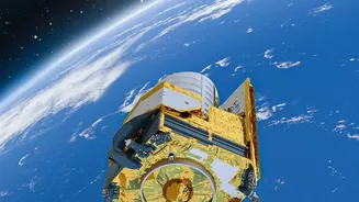
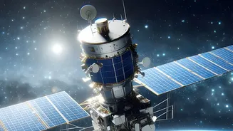
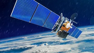
monitoring these changes across vast and remote areas was nearly impossible. Researchers relied on scattered ground sensors and local reports, creating a patchy and often delayed picture. Earth-observation technology has changed everything. Satellites equipped with sophisticated sensors provide consistent, large-scale data, allowing scientists to see the onset and evolution of drought with remarkable clarity. These 'eyes in the sky' don't just see the surface; they can measure changes in gravity to track groundwater, probe the soil for moisture, and even assess the health of plants.
Weighing Water From Orbit
One of the most groundbreaking tools in drought research is the Gravity Recovery and Climate Experiment (GRACE) mission and its successor, GRACE-Follow On (GRACE-FO). This pair of satellites doesn't take pictures. Instead, they measure tiny variations in Earth's gravity field as they orbit the planet. Since water has mass, changes in the amount of water stored in a region—from underground aquifers to rivers and lakes—cause minute shifts in gravity. By precisely tracking the distance between the two satellites, scientists can map these changes and effectively 'weigh' the total water storage in a given area. This provides an invaluable, large-scale indicator of hydrological drought, revealing when groundwater reserves, which are crucial for agriculture and drinking water, are being depleted faster than they can be replenished.
Gauging the Thirst of the Soil
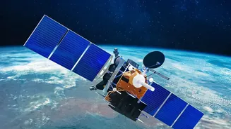
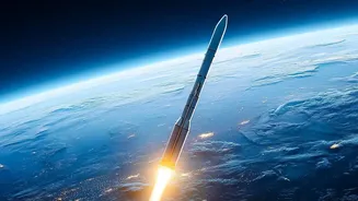
While GRACE-FO monitors the deep reserves, another critical piece of the puzzle is soil moisture in the top layer of the earth. This is where crops get their water, and its availability is a key indicator of agricultural drought. NASA's Soil Moisture Active Passive (SMAP) mission was designed specifically for this. Launched in 2015, the SMAP satellite uses a radiometer to measure microwave signals naturally emitted from the ground. These signals are affected by the amount of water in the top 5 centimetres of soil, allowing SMAP to create global maps of soil moisture every two to three days. This data is a game-changer for farmers and governments, helping to improve drought forecasts, predict agricultural productivity, and manage irrigation more effectively. In India, the NASA-ISRO Synthetic Aperture Radar (NISAR) mission will provide similar high-resolution soil moisture data to support the nation's farmers and water managers.
Asking the Plants How They Feel
Perhaps the most intuitive way to see drought's impact is by looking at vegetation. Healthy, well-watered plants are vibrant, while thirsty ones become stressed and less productive. Satellites can quantify this stress using something called the Normalized Difference Vegetation Index (NDVI). This index is calculated from the way plants reflect different wavelengths of light; healthy vegetation absorbs red light for photosynthesis and reflects near-infrared light. By comparing these two bands, satellites can create a map of vegetation greenness and vigour. A declining NDVI over time is a strong sign that plants are suffering from water stress, often due to drought. This information is vital for early warning systems, enabling authorities to anticipate harvest shortfalls and direct aid to affected regions.
From Data to Decisions
The true power of this technology lies in combining these different layers of information. By integrating data on groundwater, soil moisture, and vegetation health with weather forecasts, researchers can build comprehensive models that not only monitor current drought conditions but also predict their severity weeks or even months in advance. This is already happening in India, where ISRO uses its constellation of Earth-observation satellites for a range of applications, including operational drought assessment to help the government make decisions about relief measures. This data aids in everything from estimating crop yields and planning irrigation to providing early warnings that help farmers protect their livelihoods. As technology improves and more data becomes available, our ability to anticipate and mitigate the impacts of drought will only get stronger, turning satellite observations into life-sustaining action on the ground.