


A Volatile Landscape
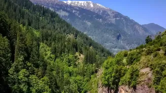
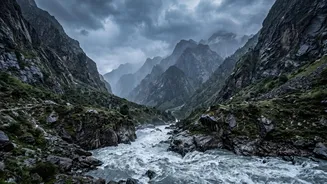
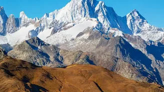
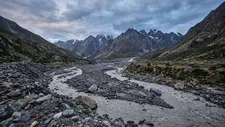
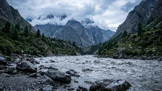
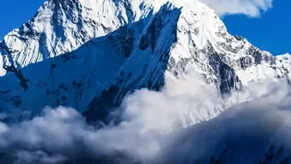
The primary danger multiplier in the Himalayas is the region’s geography itself. As the world’s youngest and most geologically active mountain range, it is characterized by steep, unstable slopes and deep, narrow valleys. When a flood occurs, this terrain
acts like a funnel, concentrating the water’s force and accelerating its speed. The torrent doesn't just carry water; it picks up immense quantities of loose rock, soil, and boulders, transforming into a thick, fast-moving debris flow often described as liquid concrete. This destructive slurry can obliterate everything in its path, from roads and bridges to entire villages, with little to no warning. The sheer power of these flows can register as a seismic event, highlighting their extraordinary force.
The Threat of Melting Glaciers
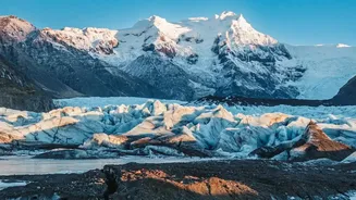
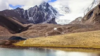
Climate change is dramatically increasing the flood risk through the rapid melting of glaciers. As temperatures rise, glaciers are retreating at an accelerated rate, creating thousands of new and expanding glacial lakes. Many of these lakes are held back only by unstable natural dams made of loose rock and soil, known as moraines. These moraine dams can fail suddenly due to pressure from rising water levels, or they can be breached by triggers like earthquakes, heavy rainfall, or large ice and rock avalanches falling into the lake. The result is a Glacial Lake Outburst Flood (GLOF), a sudden release of an enormous volume of water that can cause catastrophic downstream flooding. The increasing number and size of these lakes mean the potential for larger and more frequent GLOFs is a growing concern across the region.
Sudden and Intense Rainfall
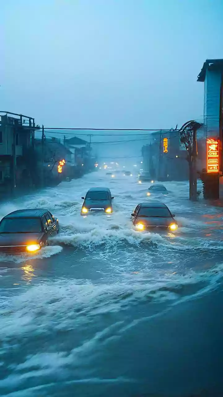
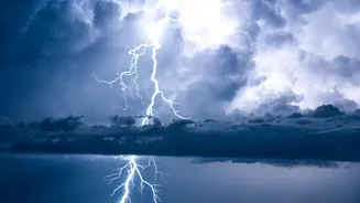
Alongside GLOFs, the Himalayas are also prone to flash floods caused by extreme rainfall events like cloudbursts. A cloudburst involves an immense amount of rain falling over a very small area in a short time. In the steep Himalayan terrain, this sudden deluge doesn't have time to soak into the ground. Instead, it runs off immediately, triggering landslides and flash floods that surge through river valleys. Climate change is altering monsoon patterns, leading to more erratic and intense rainfall, which increases the likelihood of such events. The combination of intense rain on already saturated or unstable slopes is a recipe for disaster.
The Human Factor: Risky Development
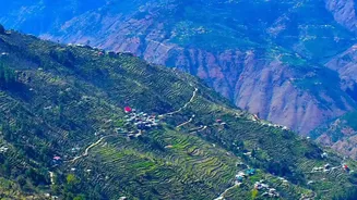
The danger is not purely natural; human activity has significantly magnified the risk. There has been a boom in infrastructure development, including hydropower dams, highways, and tunnels, often in ecologically fragile and flood-prone valleys. Unregulated construction and the expansion of towns and hotels into high-risk zones place more people and critical assets directly in the path of potential floods. When these events occur, infrastructure designed without accounting for these extreme, cascading hazards often fails, compounding the disaster. Roads and bridges are washed away, hampering rescue efforts and isolating remote communities for days or weeks.
The Challenge of Early Warnings
Providing timely warnings for these events is incredibly difficult. Many of the most dangerous glacial lakes are in remote, inaccessible locations, making continuous monitoring a logistical and technical challenge. The speed at which these disasters unfold—sometimes with water levels rising dozens of feet in minutes—leaves very little time for evacuation. Furthermore, these events are often 'cascading hazards,' where one event triggers another, like a glacial collapse causing a landslide that then dams a river and causes a flood. This complexity makes prediction difficult. While progress is being made on regional forecasts, developing effective, localized early warning systems that can reach remote communities remains a major hurdle.