



A Landmark Partnership in Orbit
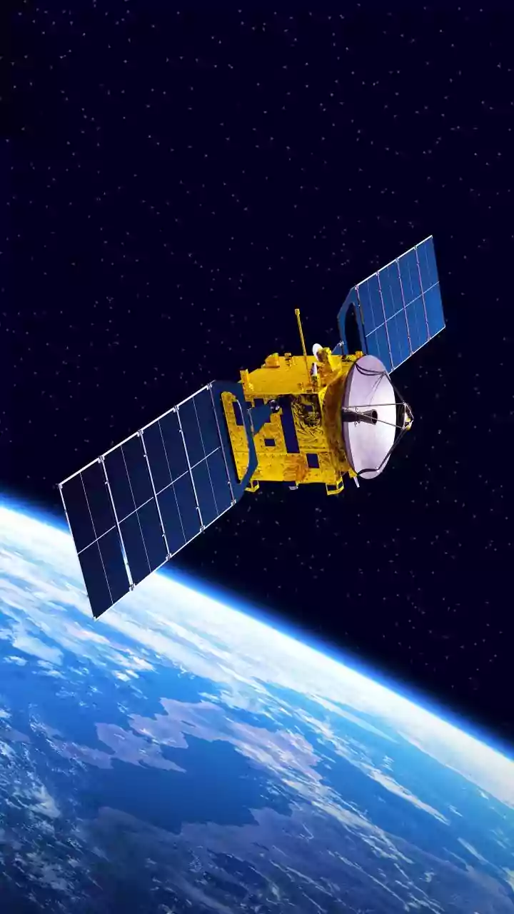
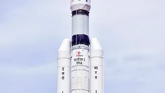
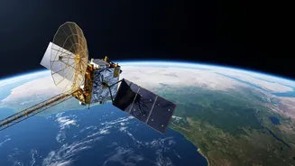
The NISAR satellite is the result of a powerful collaboration between the US space agency, NASA, and the Indian Space Research Organisation (ISRO). This sophisticated Earth-observing satellite, launched in 2025 and now fully operational, is considered
one of the most expensive and advanced of its kind. Its primary mission is to systematically map our planet, providing incredibly detailed data on everything from melting glaciers to the aftermath of earthquakes. For India, a key promise of this mission lies in its ability to address one of the nation's most pressing challenges: managing water resources. The partnership leverages the strengths of both agencies, with NASA providing the L-band radar and ISRO contributing the S-band radar. Together, these instruments create a dual-frequency system capable of observing Earth day or night, regardless of cloud cover.
How to See Water from Space
NISAR doesn't exactly 'see' water underground in the way a camera sees a landscape. Instead, it uses a clever technique called Interferometric Synthetic Aperture Radar, or InSAR. The satellite sends radar pulses down to Earth's surface and meticulously records the returning signals. It revisits the same spot every 12 days, allowing scientists to compare the radar data from different passes. If the ground has moved even by a few millimetres between observations, the phase of the returning radar wave changes. This allows NISAR to detect incredibly subtle changes in the ground's elevation—sinking (subsidence) or rising (uplift). This is the key to understanding groundwater. When massive volumes of water are pumped from underground aquifers for agriculture or urban use, the land above can sink slightly. Conversely, when heavy rains recharge these aquifers, the ground can swell. By mapping this deformation with unprecedented accuracy, NISAR provides an indirect but comprehensive picture of what's happening to the water stores beneath our feet.
A Game-Changer for Indian States
This technology moves India's water management from a ground-based guessing game to a data-driven science. For decades, authorities have relied on a limited network of monitoring wells to estimate groundwater levels. This approach provides only a sparse and incomplete picture. NISAR, however, can systematically monitor entire aquifer systems across vast regions, from the agricultural plains of Punjab to the arid landscapes of Rajasthan. This data is invaluable for state governments. It can help create more sustainable water usage policies for agriculture, which is the largest consumer of groundwater. By identifying areas of rapid depletion, officials can promote more efficient irrigation techniques and crop choices. For urban planners, especially in cities experiencing rapid growth, the data can flag areas where excessive water extraction is causing land subsidence, which can damage buildings, roads, and other critical infrastructure. ISRO has already established the NISAR Utilization Programme to ensure Indian scientists and researchers can harness this data for national development.
More Than Just Groundwater
While its application for hydrology is transformative, NISAR's capabilities extend far beyond water management. The same technology used to detect subsidence can monitor the slow creep of land preceding a landslide, offering potential for early warning systems in the Himalayas. It will track the health and volume of forests, measure the melting of glaciers, and provide critical data for disaster response during floods, cyclones, and earthquakes. The satellite's ability to see through clouds means it can map the extent of flooding in near real-time, even during a monsoon storm, guiding relief efforts more effectively. Its first images have already demonstrated its potential for mapping different types of vegetation, such as in the Godavari River Delta, which is crucial for agricultural monitoring. In essence, NISAR provides a comprehensive, dynamic check-up of the entire Indian subcontinent's land and ice surfaces.