





The Unblinking Eye in the Sky
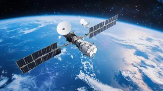
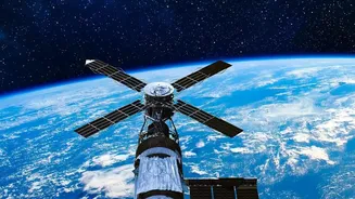
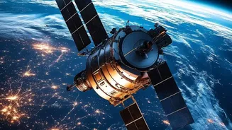
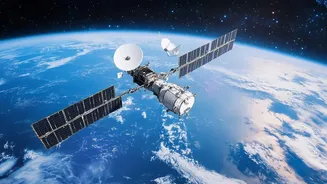
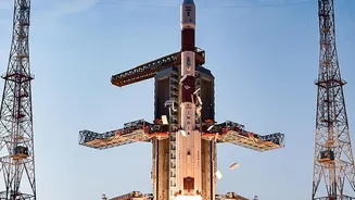
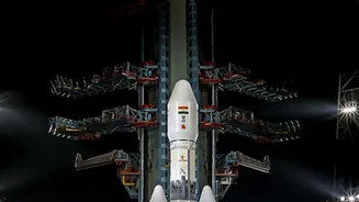
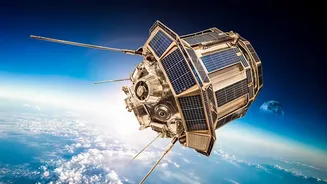
For decades, the Indian Space Research Organisation (ISRO) has been building a formidable presence in orbit. These satellites aren't just for communication or prestige; they are powerful tools of observation, constantly gathering geospatial data on everything
from weather patterns and crop health to urban expansion and forest cover. The problem is volume. With thousands of images captured daily, manually analyzing them to find meaningful, actionable information is like trying to drink from a firehose. This is where the sheer scale of data becomes a bottleneck, creating a library of information that few have the time or resources to read.
Enter the AI: A Super-Fast Analyst
Artificial intelligence, particularly machine learning, acts as a tireless and brilliant analyst that can sift through this mountain of data in seconds. These AI models are trained to recognize patterns that a human eye might miss. By feeding them historical and real-time satellite imagery, they learn to identify specific changes on the ground. Think of it as teaching a computer to distinguish a healthy plot of farmland from a distressed one, or to spot the subtle signs of illegal construction in a dense city, or even to detect the beginnings of deforestation in a protected reserve. This isn't just about speed; it's about a new level of insight that was previously impossible to achieve at a national scale. ISRO is actively developing and integrating these AI and machine learning solutions for big data analytics, among other space applications.
A Revolution for the Fields
Nowhere is the potential impact more significant than in India's agricultural sector, which employs a vast portion of its population. By using AI to analyze satellite imagery, farmers can gain unprecedented insights. These systems can monitor crop health across millions of acres, detecting nutrient deficiencies or pest infestations early. For instance, AI can predict the most effective time to plant, irrigate, or harvest based on soil moisture data and weather forecasts. In a recent example, an ISRO study in Andhra Pradesh used machine learning and Landsat-8 satellite data to successfully map soil health, identifying variations in salinity and pH that are crucial for crop suitability. This move toward 'precision agriculture' can lead to higher yields, reduced waste of resources like water and fertilizer, and greater food security for the nation.
A Shield Against Natural Disasters
India's diverse geography makes it vulnerable to a range of natural disasters, from cyclones along its extensive coastline to floods and landslides in its mountain regions. AI-powered satellite analysis is becoming a critical tool in disaster management. Algorithms can analyze weather patterns and satellite data to provide earlier warnings for extreme events like cyclones, giving authorities more time to prepare and evacuate. During and after a disaster, AI can rapidly assess the extent of damage by comparing new images to old ones, highlighting flooded areas, damaged infrastructure, and accessible routes for emergency responders. This allows for a faster, more targeted, and ultimately more effective response, helping to save lives and resources.
Building Smarter and Greener
Beyond farms and disaster zones, this technology offers powerful tools for managing India's rapid urbanization and environmental resources. AI can monitor urban sprawl, identify illegal construction, and help planners design more efficient infrastructure. In the environmental sphere, these systems are used to monitor deforestation, track changes in forest cover, and even assess the health of vital ecosystems like coral reefs. ISRO's National Remote Sensing Centre has already developed an AI-enabled system to monitor forest cover, drastically reducing the time it takes to process imagery and generate reports from a year down to a month.
The Road Ahead
While the promise is immense, significant challenges remain. Integrating AI on such a massive scale requires huge computational power, robust data infrastructure, and ensuring data privacy. There are also legal and ethical questions to address, such as liability for AI-driven decisions. Moreover, for these benefits to reach the ground level, the insights must be made accessible and understandable to local officials and individual farmers, bridging the digital divide. Private sector startups are beginning to enter the field, but scaling these services remains a significant hurdle. However, the commitment from government bodies and the rapid advancement of technology signal a clear direction forward.