




A Fundamental Shift in Perspective
For centuries, disaster management was largely reactive. A cyclone would make landfall, a river would breach its banks, or a forest fire would ignite, and only then would the response begin. Earth-observation (EO) technology, primarily through a vast
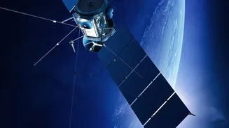
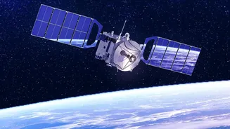
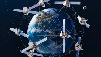
network of satellites, has flipped this model on its head. Instead of just reacting, we can now monitor, predict, and prepare. These 'eyes in the sky' provide a constant stream of data about our planet’s land, oceans, and atmosphere. This information allows authorities to understand evolving risks and shift from a post-disaster response to proactive, pre-disaster preparation, significantly reducing potential damage and fatalities.
An Eye on the Storm
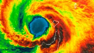
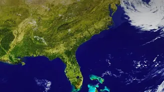
For a country with a long coastline like India, cyclones are a recurrent threat. EO technology is indispensable in tracking these massive storms. Satellites like the Indian INSAT series can detect the formation of a tropical depression over the ocean long before it becomes a threat. They then monitor the storm's evolution, providing crucial data on its intensity, size, and projected path. This gives authorities several days of advance warning, which is critical for carrying out large-scale evacuations, pre-positioning rescue teams, and securing vital infrastructure. The ability to see a storm's development in near real-time is one of the most direct ways satellite technology saves lives.
Predicting the Path of Floods
Floods, whether from monsoonal downpours or overflowing rivers, are another major hazard. Satellites contribute to flood preparedness in several ways. They use radar to measure ground-water saturation, which indicates how likely an area is to flood. During a heavy rainfall event, they can estimate precipitation levels and monitor rising river levels. Specialised systems like the Copernicus Emergency Management Service's Global Flood Monitoring tool use satellite data to create detailed flood inundation maps, sometimes within hours of an event. These maps are vital for emergency responders to identify the worst-affected areas, locate stranded people, and plan rescue routes, even when the ground is inaccessible.
Fighting Fire with Data
In the case of wildfires, early detection is everything. Earth-observation satellites are equipped with infrared sensors that can detect the heat signature of a new fire before it's visible to the naked eye or reported by a person on the ground. Once a fire is active, satellites track its spread by mapping the burn scar and monitoring wind conditions and dry vegetation—the fuel that feeds the flames. This data helps fire services to allocate resources more effectively, decide where to establish containment lines, and issue timely evacuation orders for communities in the fire's path. After the fire is extinguished, the same satellite data helps in assessing the damage and planning for reforestation and soil erosion control.
India's Eyes in the Sky
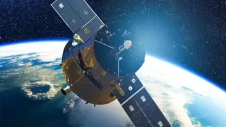
India, through the Indian Space Research Organisation (ISRO), is a major player in leveraging EO technology for the nation's benefit. ISRO's fleet of satellites, including the Resourcesat and INSAT series, provides a continuous stream of data specifically for disaster management. This data is processed by the National Remote Sensing Centre (NRSC) and disseminated to agencies like the National Disaster Management Authority (NDMA) to support their work. ISRO also plays a key role in international collaborations, such as the International Charter 'Space & Major Disasters', providing and receiving satellite data to aid response efforts for major disasters across the globe, reinforcing the cooperative nature of this life-saving technology.