







A Veteran Observer of the Red Planet
Launched in June 2003, the Mars Express was Europe's first-ever mission to another planet. Designed for a primary mission of just under two Earth years, it has wildly surpassed all expectations, continuing to operate and deliver valuable science for more
than two decades. It is the second-longest-running spacecraft in orbit around Mars, behind only NASA's 2001 Mars Odyssey. Its objectives were to study the Martian atmosphere, geology, and search for signs of water. Over its long life, it has transformed our understanding of the planet, revealing extensive evidence of past water, mapping the atmosphere, and producing thousands of scientific papers. Its longevity is a testament to its robust design and the creative problem-solving of its mission control teams.
The Next Great Challenge: Mars Sample Return
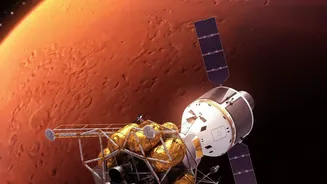
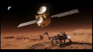
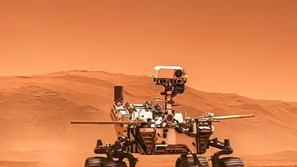
On the horizon is one of the most complex robotic space campaigns ever attempted: the joint NASA and ESA Mars Sample Return (MSR) mission. The goal is to bring back rock and soil samples currently being collected by NASA's Perseverance rover. These samples, once on Earth, could be studied in state-of-the-art labs, potentially revolutionizing our understanding of Martian history and whether life ever existed there. The campaign involves multiple stages: a lander will touch down, collect the samples left by Perseverance, and launch them into Mars orbit inside a container. Then, a separate orbiter must autonomously rendezvous with and capture this container for the long journey back to Earth.
A High-Stakes Landing Problem
One of the most critical phases of the MSR mission is successfully landing the Sample Retrieval Lander near the sample tubes cached by the Perseverance rover. The landing site must be incredibly safe—flat, stable, and free of boulders or steep slopes that could doom the mission before it even begins. At the same time, it needs to be close enough for a rover to efficiently retrieve the samples. This requires extraordinarily detailed topographical maps of the potential landing zones, providing a 3D view of the terrain with metre-scale accuracy. Without this, mission planners would be flying blind, risking a multi-billion-dollar mission on an uncertain surface.
Data From the Archives to the Rescue
This is where the old veteran, Mars Express, comes in. One of its key instruments is the High Resolution Stereo Camera (HRSC), designed to image the entire planet in 3D colour. Over its 20-plus years in orbit, the HRSC has systematically mapped vast swathes of the Martian surface, creating an invaluable archive of high-resolution topographical data. This 'routine' mapping, performed year after year, turned out to be the exact knowledge needed to de-risk the Mars Sample Return landing. Scientists are now using this deep archive of stereo images to create incredibly detailed digital terrain models of the candidate landing sites in Jezero Crater. This allows them to identify and rule out hazardous areas with a precision that would be impossible otherwise.
More Than Just a Map
The support from Mars Express goes beyond just picking a flat spot. By providing such reliable and extensive data, the mission showcases the immense strategic value of long-term scientific infrastructure. A mission designed decades ago is directly enabling the success of a next-generation flagship campaign. It demonstrates a core principle of modern business and technology: the long-term collection of high-quality data is an asset that can generate unexpected returns on investment far into the future. Mars Express has also served as a crucial communications relay for numerous landers, including NASA's Spirit and Perseverance rovers, proving its worth as a team player in the international effort to explore Mars.