






An Unprecedented Disaster
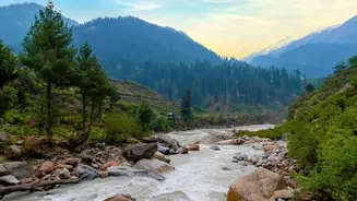
The devastation began Wednesday morning in Nepal's Rasuwa district, bordering Tibet, when a wall of water, mud, and rock thundered down the Bhotekoshi River. The U.S. Geological Survey later confirmed the event was not a typical earthquake but a massive
glacial collapse that caused the initial tremor and the subsequent deadly debris flow. The flash flood swept through mountain towns and valleys, obliterating homes, bridges, and critical hydropower plants. The human toll has been immense, with over 150 confirmed dead and hundreds more, including many foreign tourists and over 100 Indian nationals, reported missing. Rescue operations are in a desperate race against time as teams search for survivors in the mud-caked ruins of what were once thriving communities.
The Journey of a Flood Wave
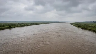
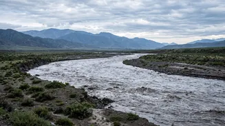
The threat is now a matter of geography and gravity. The same rivers that bring life to the region are now conduits of destruction. The water that originated in the high Himalayas of Nepal and Tibet is funnelled into major river systems that flow south into India. The Bhotekoshi joins the Trishuli river, which in turn feeds the Gandak River (also known as Narayani) as it enters Indian territory. This torrent is now travelling hundreds of kilometres. The Central Water Commission issued a special flood advisory, warning that the flood wave is moving downstream towards the Gandak basin, threatening populous states like Bihar and Uttar Pradesh. While the wave's intensity is expected to decrease as it travels, the sheer volume of water remains a grave concern.
Why the Danger Persists for India
The immediate danger of the initial surge is compounded by several factors that keep the threat level high for days. The ground in the entire region is already saturated from a very active monsoon season. Any additional rainfall in the catchment areas of the Koshi, Gandak, and other rivers has nowhere to go but straight into the swollen river channels. Furthermore, the initial glacial collapse may have created unstable natural dams that could breach without warning, releasing yet another pulse of water. Finally, the infrastructure designed to control these rivers, such as the Valmikinagar Barrage on the Gandak, is under immense pressure. While all 36 gates of the barrage have been opened to pass the excess water, officials are monitoring the structure and embankments around the clock for any signs of failure.
High Alert in Bihar and Uttar Pradesh
Authorities in India are not taking any chances. Bihar has sounded a high alert across nine districts, including West Champaran, East Champaran, Gopalganj, and Muzaffarpur, which lie directly in the Gandak river's path. Leave for engineers and disaster response personnel has been cancelled, and NDRF teams have been deployed to strategic locations. Local administrations are using public announcement systems to urge residents in low-lying areas to evacuate to safer places. Similar precautions are underway in Uttar Pradesh, where the Maharajganj and Kushinagar districts are on high alert. The focus is on saving lives by moving people out of harm's way before the peak of the flood wave arrives.
A Cross-Border Challenge
This disaster highlights the interconnectedness of Nepal and India, bound by shared river systems. Managing these transboundary rivers, especially during crises, is a recurring challenge. Both nations have joint committees, such as the Joint Committee on Koshi and Gandak Projects, to coordinate on flood management, data sharing, and infrastructure maintenance. Ahead of this year's monsoon, officials met to discuss these very issues. However, the scale of this glacial outburst flood puts these cooperative mechanisms to the ultimate test. The immediate response has seen India offer all possible humanitarian assistance to Nepal, but the long-term challenge remains: how to build more resilient infrastructure and better early warning systems in a Himalayan region made increasingly volatile by climate change.