






An Unblinking Eye in a Fixed Orbit
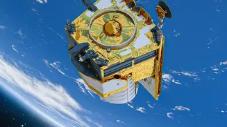
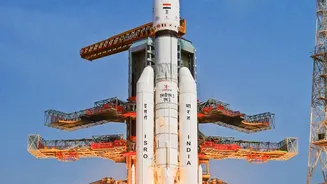
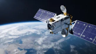
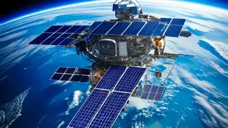
The single biggest advantage of EOS-05 is its orbit. Unlike most Earth observation satellites that circle the globe in a low-Earth orbit (LEO) and pass over a location only a few times a day, EOS-05 will be placed in a geostationary orbit (GEO) approximately
36,000 kilometres high. At this altitude, the satellite's speed matches the Earth's rotation, allowing it to seemingly hover over the Indian subcontinent. This provides the unique ability to monitor the same vast geographical area continuously, rather than getting brief snapshots. It means having a persistent eye in the sky, a fundamental shift from the periodic glimpses offered by ISRO's existing fleet of world-class LEO satellites like the Cartosat and RISAT series. This constant watch is the foundation for all its other groundbreaking capabilities.
Transforming Disaster Management and Response
For a country prone to natural disasters like cyclones, floods, and forest fires, near-real-time information is a matter of life and death. EOS-05 is designed to be a game-changer in this domain. Its ability to image a selected area of interest as frequently as every five minutes will allow authorities to track the rapid development of weather events. This capability can provide early warnings for cyclones, monitor cloudbursts that can lead to flash floods, and track the spread of large forest fires. By supplying a constant stream of data, the satellite will empower disaster management agencies to make quicker, more informed decisions, deploy resources more effectively, and ultimately save more lives. ISRO has long been a crucial partner in disaster management, and EOS-05 will significantly upgrade this national service.
A Major Boost for National Security
The strategic applications of a geostationary imaging satellite are profound. While ISRO has been discreet about specific military uses, a platform capable of persistent regional surveillance provides a significant advantage for national security. The ability to continuously monitor borders and maritime zones, especially the vast Indian Ocean Region, is crucial. Such a satellite can help track movements in sensitive areas, providing invaluable intelligence to the armed forces. The Indian Navy, for instance, has been looking to acquire a dedicated satellite like this, known as GISAT-2, to enhance its operational capabilities. In an increasingly complex geopolitical environment, having an unblinking eye provides a layer of security and situational awareness that is difficult to overstate.
Smarter Agriculture and Resource Planning
Beyond immediate threats, EOS-05 will be a powerful tool for managing India's precious natural resources. Frequent, large-scale imaging can help monitor crop health, assess agricultural drought conditions, and estimate yields with greater accuracy. This data is vital for policymaking, ensuring food security, and supporting the livelihoods of millions of farmers. Furthermore, the satellite's observations can be used to monitor forest cover, track changes in water bodies, and aid in mineral exploration. By providing a comprehensive and regularly updated picture of the country's environmental health, EOS-05 will support sustainable development goals and help manage resources more efficiently for future generations.
Enhancing Weather Forecasting and Climate Science
While India's INSAT series already provides crucial meteorological data, EOS-05 is a dedicated imaging platform with advanced sensors that will add another layer of precision. It is expected to carry multi-spectral and hyper-spectral imagers, allowing scientists to observe the atmosphere, land, and oceans in different wavelengths. This will improve the monitoring of cloud formation, sea surface temperatures, and atmospheric water vapour. This detailed data will not only lead to more accurate short-term weather forecasts but also contribute to a deeper understanding of long-term climate patterns and the impacts of climate change on the subcontinent. The satellite's continuous monitoring provides a rich dataset for scientists studying complex environmental systems.