



The View From Above: Satellites' Strengths
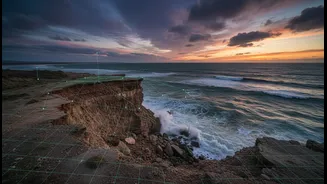
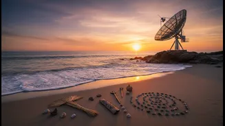
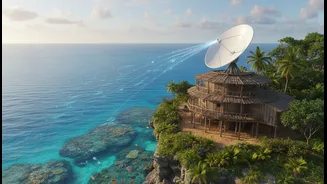
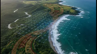
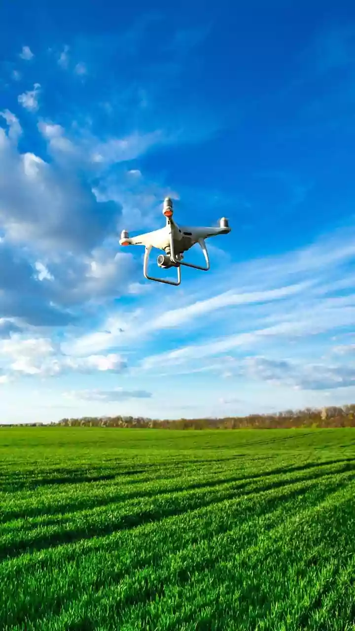
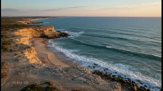
Satellite remote sensing has revolutionised how we see our coasts. From orbit, these 'eyes in the sky' provide a wide-angle, data-rich view that was previously impossible to achieve. They can track shoreline changes, measure erosion and accretion rates,
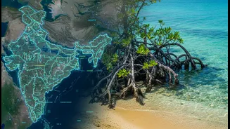
monitor water quality, and map underwater terrain with remarkable consistency over vast areas. This technology allows scientists and planners to observe changes on a global scale, transforming coastal science from a data-poor to a data-rich field. For a country with over 7,500 kilometres of coastline, this large-scale monitoring is invaluable for understanding the broad impacts of sea-level rise and powerful storms. The data collected provides a crucial evidence base for modelling future scenarios and informing high-level policy decisions about coastal defence and hazard management.
The Limits of a Bird's-Eye View
However, satellite data is not without its limitations. A key issue is resolution; while powerful, the precision of satellite imagery can be in the range of metres, less accurate than on-the-ground GPS surveys which offer centimetre-scale accuracy. Furthermore, optical sensors are often hampered by cloud cover, a frequent issue in coastal and tropical regions. Beyond the technical constraints, satellite data provides the 'what' but often misses the 'why'. It can show that a shoreline is eroding but cannot explain the nuanced, local ecological or human factors driving that change. This top-down perspective can sometimes lead to management plans that are disconnected from the realities and needs of the local communities they are meant to serve.
Wisdom From The Ground: Indigenous Knowledge
This is where Indigenous Traditional Ecological Knowledge (ITEK) offers a vital, complementary perspective. For generations, coastal communities, such as fishing villages, have developed a deep, lived-in understanding of their environment. This knowledge is not a static collection of folklore; it is a complex system of observation, practice, and belief passed down through cultural traditions. Indigenous communities can often read subtle environmental cues that satellites cannot detect, like changes in fish behaviour, the health of specific plants, or shifts in local currents. This knowledge is holistic, connecting land, water, seasons, and community livelihood into a single, integrated system. In the face of climate change, this hyper-local, long-term observational data is an invaluable resource for resilience and adaptation.
Bridging the Gap: The Power of Integration
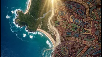
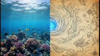
Relying on either system alone is a missed opportunity. The most resilient and effective coastal management strategies emerge when science and tradition are woven together. This integration is a two-way street. Satellite data can be used to validate and scale up local observations, providing quantitative evidence for changes that communities have witnessed for years. A study in Mexico, for instance, successfully used satellite imagery to confirm and quantify coastal erosion patterns first reported by local fishers, strengthening the case for policy action. Conversely, Indigenous knowledge can provide the crucial ground-truthing for satellite data, explaining the local context behind the large-scale patterns and guiding more culturally appropriate and effective interventions. This collaborative approach moves away from top-down solutions and fosters community-led management that is more likely to succeed in the long term.