


The Current State of Play
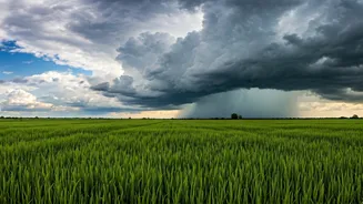
Every year, the Southwest Monsoon makes its journey across India, a vital lifeline for agriculture and water resources. Its progress is tracked by the India Meteorological Department (IMD) via the Northern Limit of Monsoon (NLM), an imaginary line separating
regions that have received monsoon showers from those still waiting. Currently, this line has paused its northward march. After a timely arrival over Kerala and a swift journey covering parts of Karnataka, Maharashtra, and Telangana, the monsoon's momentum has significantly slowed. It's now lingering over central parts of the country, unable to push further into states like Gujarat, Madhya Pradesh, Uttar Pradesh, and beyond, leaving northern India in the grip of pre-monsoon heat.
What Are These 'Central Barriers'?
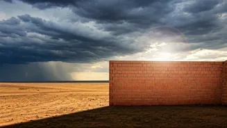
The 'barriers' holding the monsoon hostage aren't physical mountains but atmospheric roadblocks. The primary culprit is often an anticyclonic circulation—a high-pressure system—that establishes itself over the central and northwestern parts of the subcontinent. Think of a high-pressure system as a giant, invisible dome of descending air. This sinking air warms up and dries out, suppressing cloud formation and rainfall. The moist, rain-bearing monsoon winds are low-level flows that simply cannot break through this powerful, stable wall of high pressure. Until this anticyclonic system weakens or moves away, the monsoon's deep penetration into the northern plains remains effectively blocked.
The Domino Effect of the Delay
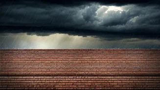
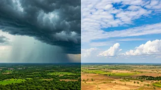
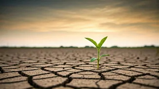
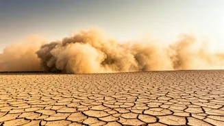
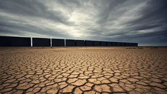
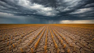
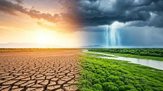
A stalled monsoon creates a tale of two Indias. For regions north of the NLM, such as Delhi, Punjab, Haryana, and Rajasthan, the delay means an extended and often intensified heatwave. The scorching pre-monsoon temperatures persist, pushing power grids to their limits and posing significant health risks. Meanwhile, for the regions where the monsoon has technically arrived but is weak due to the atmospheric block—like parts of Maharashtra and Madhya Pradesh—the problem is different. These areas experience cloudy skies but receive deficient rainfall, which is just as problematic for agriculture. This 'break' in the monsoon's activity is a natural part of its cycle, but a prolonged one can spell trouble.
Impact on Farming and Water Security
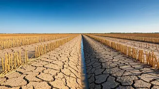
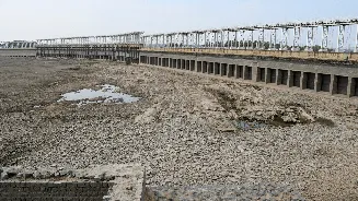
The timing of the monsoon is critical for the Kharif sowing season. Millions of farmers await the first showers to prepare their fields and plant crops like rice, soybean, cotton, and pulses. A delay of a week or two can disrupt this delicate schedule, impacting sowing decisions and potentially affecting the final yield. Late sowing can expose crops to different weather risks later in their growth cycle. Beyond agriculture, the delay also affects water security. Monsoon rains are essential for replenishing rivers, lakes, and reservoirs, which supply drinking water and power hydroelectric dams. A prolonged weak phase can mean lower-than-expected water levels, with consequences that last long after the rains have passed.
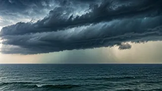
What Will Break the Deadlock?
Meteorologists are closely watching for a 'pulse' that can re-energise the monsoon and break the deadlock. Typically, the solution comes from the sea. The formation of a low-pressure area or a cyclonic circulation in the Bay of Bengal is the most common catalyst. Such a system pulls the monsoon trough—the zone of low pressure that is the heart of the monsoon—northward, weakening the high-pressure block over central India. As the system moves inland, it draws moisture-laden winds with it, allowing the monsoon to surge forward once again. Forecasters look for these developments to predict when the monsoon will revive and resume its much-awaited journey across the northern plains.