



The Challenge of a Data Deluge
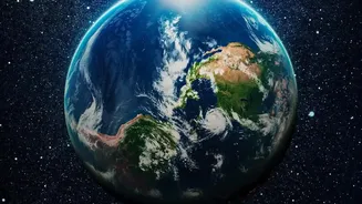
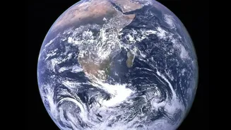
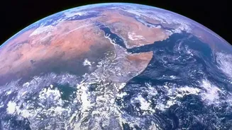
For decades, NASA has been our eyes in the sky, with a fleet of Earth-observing satellites capturing terabytes of high-resolution imagery every single day. This vast archive holds crucial clues about our changing climate, from melting ice sheets and rising
sea levels to deforestation and urban sprawl. The problem? This data has been accumulating much faster than humans can possibly analyze it. Traditionally, scientists would have to manually sift through images, a slow and painstaking process that meant critical insights could take weeks, months, or even years to uncover. This delay is a significant handicap in a world facing urgent environmental challenges that demand swift, informed action.
A New Foundation for Analysis
Enter the world of AI foundation models. In a groundbreaking collaboration with IBM, NASA has developed a new class of artificial intelligence designed specifically for Earth science. These are not your typical, narrowly focused AI tools. Instead, a foundation model is trained on a massive, broad set of unlabeled data, allowing it to build a fundamental understanding of a complex system. The primary model, named "Prithvi"—the Sanskrit word for Earth—was trained on years of satellite imagery from NASA's Harmonized Landsat and Sentinel-2 programs. This approach allows the AI to learn the intricate patterns and dynamics of our planet's surface and atmosphere without being explicitly programmed for every single task.
From Raw Data to Rapid Insight
The true power of the Prithvi model lies in its adaptability. Once the foundational knowledge is in place, scientists can quickly fine-tune it for highly specific tasks using a much smaller, labeled dataset. This dramatically cuts down on development time and computational cost. For example, researchers have successfully adapted the model to automatically map floodwaters after a storm, identify burn scars left by wildfires, and classify different types of land use, such as urban areas versus farmland. Tasks that once required intensive manual analysis can now be completed with high accuracy in a fraction of the time, accelerating geospatial analysis by an estimated three to four times. This speed is vital for disaster response, where getting information to first responders within minutes, not days, can save lives and property.
Monitoring Disasters and Weather
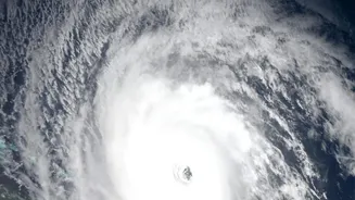
The applications extend far beyond static maps. The Prithvi family of models includes a version specifically for weather and climate, trained on 40 years of NASA's atmospheric data. This model can help improve weather forecasts, detect severe patterns like hurricanes, and even fill in gaps where observational data is missing. The AI learns how the atmosphere evolves over time, allowing it to make predictions with greater accuracy and resolution. For disaster management, this means a better ability to anticipate a storm's path or a flood's extent. One fine-tuned version of the Prithvi model can segment flood extents from satellite imagery with a mean accuracy of over 94 percent, providing a clear picture of inundated areas for emergency planning.
An Open-Source Future for Climate Science
Perhaps one of the most significant aspects of this initiative is NASA and IBM's commitment to open science. The Prithvi models have been made publicly available, allowing researchers, non-profits, and even commercial entities around the world to use them. This democratization of advanced AI tools lowers the barrier to entry for analyzing NASA's vast data archives. A research group has already used the model to predict locust breeding grounds in Africa, an application the original creators hadn't even envisioned. By sharing these powerful systems, NASA is aiming to create a global community of innovators working to address climate challenges, potentially leading to a comprehensive "digital twin" of Earth that could revolutionize environmental science.