




The Challenge of City Weather
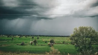
Predicting rain in a dense urban environment is notoriously difficult. Cities create their own microclimates, where concrete and asphalt absorb and radiate heat, creating 'urban heat islands'. This can cause small but intense rain cells to form unpredictably.
Traditional weather forecasts, which cover large regions, often miss these hyper-local events entirely. For residents, this means a forecast for 'scattered showers' provides little practical information. You are left guessing whether the downpour will affect your neighbourhood, your office downtown, or somewhere else entirely, making it difficult to plan travel and daily activities.
A New Eye In The Sky
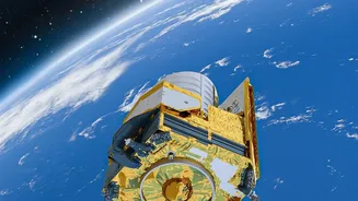
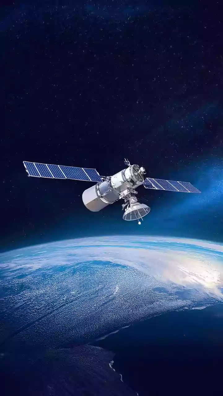
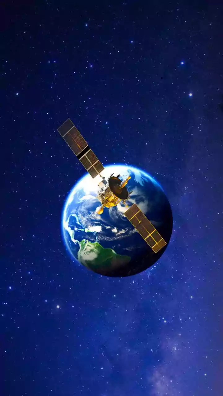
The game-changer is a new class of satellite instrument: the high-frequency microwave sounder. Unlike the television cameras on the first weather satellites from the 1960s, these advanced sensors don't just take pictures of clouds. They operate at microwave frequencies that can penetrate cloud cover, allowing them to measure the physical properties of the atmosphere itself. Deployed in constellations of small, shoebox-sized satellites in Low Earth Orbit, they can scan the entire planet with increasing frequency. This frequent, direct measurement is key to moving beyond broad predictions to highly specific, short-term forecasts known as 'nowcasting'.
Scanning the Unseen: Atmospheric Moisture
The secret lies in detecting water vapor, the invisible gas that is a primary ingredient for rain. While traditional infrared sensors can struggle with cloud cover, microwave sounders are directly sensitive to the temperature and humidity throughout the atmospheric layers. They work by measuring the natural microwave energy emitted by the Earth and atmosphere. As this energy travels up to the satellite, it is affected by the amount of water vapor present. By analyzing these signals across multiple frequency bands, scientists can build a detailed, three-dimensional profile of moisture in the air, from the surface to the upper troposphere. This essentially allows them to see the fuel for a potential storm before it even forms.
From City Grid to Your Street Corner
This ability to map atmospheric moisture with high resolution is what enables 'hyper-local' forecasting. Instead of a forecast for an entire district, this technology can provide rain predictions for specific neighbourhoods or even city blocks. By feeding this constant stream of high-quality moisture data into advanced weather models, forecasters can predict rain with greater accuracy in the critical 0-to-6-hour window. For residents, this means receiving a mobile alert that rain is expected in your specific area in the next 30 minutes, giving you just enough time to head home, delay your trip, or move your vehicle to higher ground.
Real-World Impact for Indian Cities
The implications for Indian cities are immense. During monsoon season, this technology could provide crucial lead time for civic authorities to manage drainage systems and prevent flash floods. Commuters could make informed decisions, reducing traffic chaos caused by sudden deluges. For industries like construction and logistics, which depend heavily on weather, such precise forecasts can save time, protect equipment, and ensure worker safety. As constellations of these advanced satellites grow, the goal of reliable, street-level weather intelligence is moving from science fiction to a daily reality, offering a powerful new tool in adapting to an increasingly unpredictable climate.