






The Pacific's Normal State
To understand El Niño and La Niña, we first need to know what happens normally. Typically, strong trade winds blow from east to west across the tropical Pacific Ocean. These winds push warm surface water towards Asia and Australia, causing it to pile
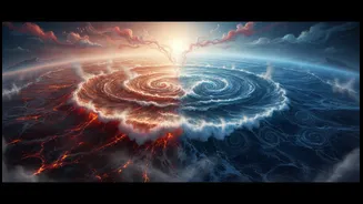
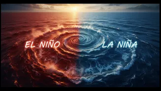
up in the western Pacific. As the warm water moves west, cooler water from deep in the ocean rises to the surface along the coast of South America. This creates a temperature difference across the ocean, with warm waters in the west and cool waters in the east. This entire system, a coupled interaction between the ocean and atmosphere, is called the El Niño-Southern Oscillation, or ENSO. It has three phases: El Niño (the warm phase), La Niña (the cold phase), and a neutral phase in between.
El Niño: The Warm Disruption
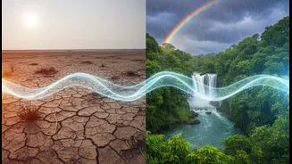
El Niño occurs when those reliable east-to-west trade winds weaken or even reverse direction. Without the strong push, the large pool of warm water in the western Pacific begins to slosh back eastward, toward the coast of South America. This leads to warmer-than-average sea surface temperatures across the central and eastern tropical Pacific. This warming of the ocean surface isn't just a local event; it changes atmospheric circulation and alters weather patterns across the globe. For regions like Indonesia and Australia, it can lead to drought. For India, the connection is critical: El Niño is often associated with a weaker monsoon.
La Niña: The Cold Counterpart
La Niña is essentially the opposite of El Niño. During a La Niña event, the east-to-west trade winds become even stronger than usual. This intensified wind pushes more warm surface water toward Asia, leading to an even bigger pile-up in the western Pacific. On the other side of the ocean, this allows a greater upwelling of cold water along the coast of South America. The result is a cooling of the sea surface temperatures in the central and eastern tropical Pacific to below-average levels. Globally, this has the reverse effect of El Niño. While some parts of the world experience drought, others face increased rainfall.
Why It Matters for the Indian Monsoon
The primary reason these distant Pacific phenomena are so closely watched in India is their strong influence on the southwest monsoon, which is the lifeblood of the country's agriculture-dependent economy. Historically, El Niño years are often linked with suppressed monsoon rainfall and even drought conditions in India. The changes in atmospheric circulation caused by El Niño can disrupt the moisture-laden winds that typically bring rain to the subcontinent. Conversely, La Niña is generally a welcome sign for India. The conditions it creates are often favourable for a strong monsoon, leading to normal or even above-normal rainfall. This can boost crop yields and replenish water reservoirs, though it can also increase the risk of flooding in some areas. However, this relationship is not always perfect. Other factors, like the Indian Ocean Dipole, can also influence the monsoon's performance. Recent analysis also shows that the impact can vary across different regions of India.