





The Legend Beneath the Waves
Ancient Tamil epics like 'Silappathikaram' and 'Manimekalai' paint vivid pictures of Kaveripoompattinam, popularly known as Poompuhar, a flourishing capital of the early Chola kings. These texts describe a bustling port with grand mansions, busy markets,
and ships arriving from as far as Rome and Greece. For generations, these stories were considered a mix of history and myth, the city’s grandeur lost to time and the sea after it was believed to be submerged around a thousand years ago. But as marine archaeologists began exploring the seabed off the coast of modern-day Poompuhar in Tamil Nadu, they started to find tantalising clues that the legends were rooted in reality.
Seeing with Sound: The Sonar Revolution
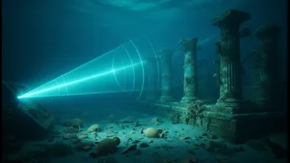
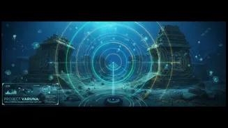
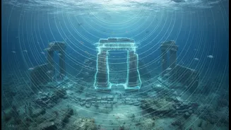
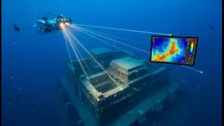
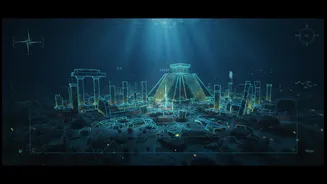
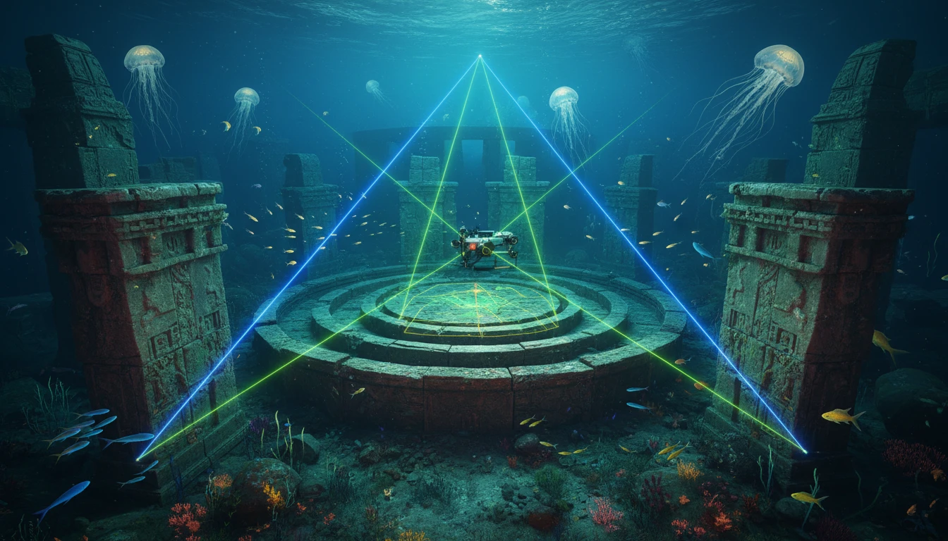
Finding a submerged city is an immense challenge. Silt, sand, and the sheer darkness of the ocean conceal ancient structures. This is where advanced sonar technology comes in, acting as the eyes and ears for researchers. Institutions like the National Institute of Ocean Technology (NIOT) are at the forefront of this effort, using research vessels equipped with sophisticated acoustic instruments. The primary tool is the multibeam echosounder. Think of it as a high-tech ultrasound for the ocean floor. The ship sends out a wide fan of sound signals that bounce off the seabed. By measuring the time it takes for these echoes to return, scientists can create incredibly detailed, three-dimensional maps of the underwater landscape.
From Echoes to Architecture
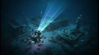
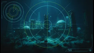
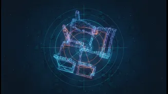
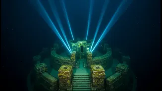
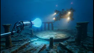
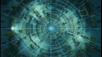
The sonar data reveals more than just the depth of the water. It highlights anomalies—shapes and patterns that don't fit the natural geology of the area. A flat, unnaturally long line could be a submerged wall; a grid-like pattern might suggest streets or building foundations. This raw data is then processed to filter out the noise and enhance these features. In the waters off Tamil Nadu, these acoustic images have revealed what appear to be man-made structures, including potential walls, a harbour, dockyards, and even the remnants of what might be a lighthouse. To verify these findings, researchers deploy Remotely Operated Vehicles (ROVs)—unmanned submarines equipped with cameras and sonar—to get a closer look and capture images of the ruins.
What the Sonar Surveys Have Uncovered
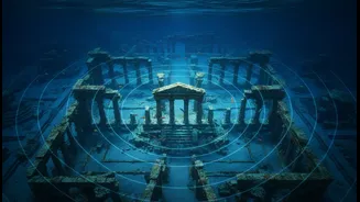
The results have been astonishing. Surveys have mapped a massive area, identifying features that suggest a well-planned city. Off the Poompuhar coast, studies indicate the presence of a vast harbour, possibly miles long, and structures located up to 40 km from the present shoreline at depths of 50 to 100 metres. The sonar data points to rowed settlements with compound walls and even a possible spiral design consistent with a lighthouse. These findings align remarkably with the literary descriptions of a major port city. The scale of the discoveries has led some researchers to suggest that the original city of Poompuhar could be far older than previously thought, perhaps existing as far back as 15,000 years ago, being rebuilt multiple times after floods and rising sea levels.
Rewriting a Lost Chapter of History
This fusion of ancient legend and modern technology is doing more than just finding old stones. It is helping to digitally reconstruct a lost chapter of India's maritime history. By mapping these submerged ruins, scientists can understand ancient urban planning, maritime trade routes, and the profound impact of climate change and natural disasters on past civilizations. The evidence of repeated submergence and rebuilding speaks to the resilience of ancient societies. While the work is ongoing and requires further physical verification through underwater excavation, sonar mapping has provided the crucial first step. It has transformed a fabled city from a literary marvel into a tangible archaeological site, proving that sometimes, the greatest treasures are hidden not in myth, but deep beneath the waves.