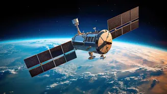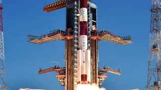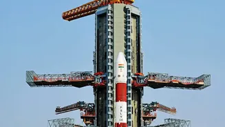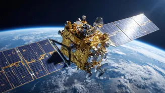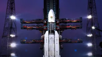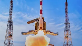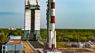






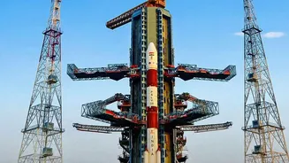

India is bolstering its homegrown alternative to GPS. A new satellite, NVS-03, was successfully launched on October 30, 2026, marking a crucial step in strengthening the nation's self-reliant navigation system, NavIC. Here's why it matters.
What is NavIC?
NavIC, which
stands for Navigation with Indian Constellation, is India's autonomous regional satellite navigation system. Developed by the Indian Space Research Organisation (ISRO), it's designed to provide accurate positioning, navigation, and timing services for India and a region extending about 1,500 kilometres beyond its borders. Unlike the American GPS, which is global, NavIC is a regional system created to give India strategic independence. This became a priority after the U.S. reportedly denied access to GPS data during the 1999 Kargil conflict. The system offers a Standard Positioning Service (SPS) for all users and an encrypted Restricted Service (RS) for strategic and military use.
The Urgent Need for an Upgrade
A navigation system's health depends on its satellites. To provide basic positioning, a minimum of four operational satellites are required. Before the launch of NVS-03, India's NavIC system was down to just three functional satellites: IRNSS-1B, IRNSS-1I, and NVS-01. This was due to a series of setbacks, including the failure of imported atomic clocks on several first-generation satellites and the failure of the NVS-02 satellite to reach its intended orbit in January 2025. As a result, NavIC's standalone positioning service had become unavailable, although its timing service remained functional. The successful launch of NVS-03 was therefore critical to restore the minimum number of satellites needed for NavIC to function properly.
What Makes the NVS Series Special
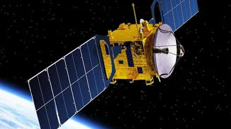
NVS-03 is the third satellite in a new, second-generation series designed to not just replace ageing satellites but significantly upgrade the entire constellation. One of the most important upgrades in the NVS series, including NVS-03, is the inclusion of an indigenously developed Rubidium atomic clock. These clocks are vital for the extreme time accuracy needed for navigation, and developing them inhouse reduces India's reliance on foreign components, a key goal of the Atmanirbhar Bharat initiative. The new satellites also have a longer mission life of 12 years, compared to the 10 year lifespan of the original IRNSS series.
A Boost for Civilian Use with the L1 Band
Perhaps the most significant new feature for the general public is the addition of the L1 frequency band. The L1 band is the most commonly used frequency for civilian navigation services globally, including by GPS. By adding an L1 signal to NavIC's existing L5 and S bands, ISRO is making the system much more compatible with consumer devices like smartphones, wearables, and incar navigation systems. This interoperability is expected to drive wider adoption of NavIC among the public and commercial sectors, as device manufacturers can more easily integrate it into their products without needing specialised hardware. This move aims to make 'India's own GPS' a common feature in the daily lives of citizens.
Reinforcing India's Strategic Autonomy
Beyond civilian convenience, a robust and independent NavIC system is a cornerstone of India's strategic autonomy. Having its own reliable navigation system ensures that India's military and security agencies have guaranteed access to positioning, navigation, and timing data at all times, without dependence on foreign governments who control systems like GPS. This is crucial for national security, disaster management, and the coordination of critical infrastructure. The NVS series also features enhanced encryption and security to protect these strategic services. With the successful launch of NVS-03, and with more satellites like NVS-04 and NVS-05 planned, ISRO is systematically strengthening this vital national asset.