


From a Blurry Image to a Sharp Diagnosis
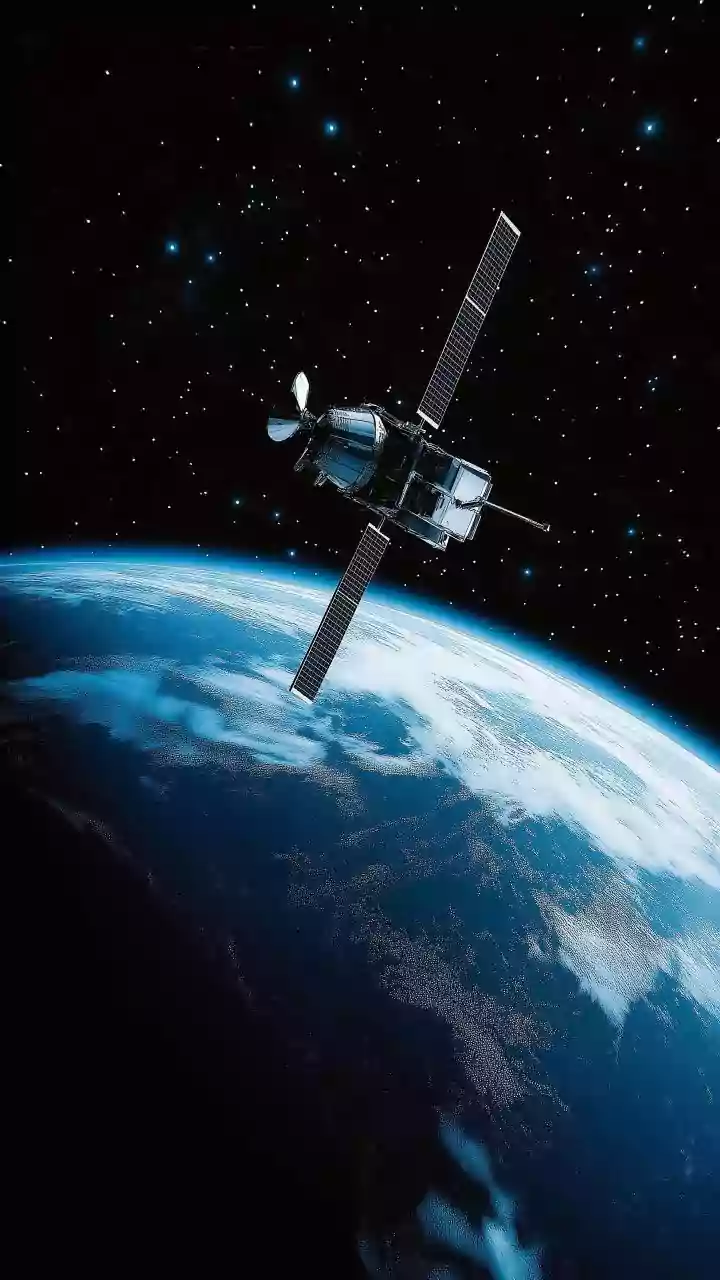
For decades, satellites have been our eyes in the sky, providing the first warnings of a warming world. They have tracked melting ice caps, monitored sea-level rise, and observed sprawling deforestation. However, these older systems often provided a wide
but somewhat blurry picture. They could show us that the planet’s fever was rising, but struggled to pinpoint the exact sources or measure changes with the hyper-precision needed for decisive action. Traditional methods were like taking a patient's temperature without being able to run the specific diagnostic tests to find the cause of the illness. This is now changing, thanks to a technological leap in Earth observation that is moving us from estimation to precise measurement.
The Greenhouse Gas Detectives
One of the most significant upgrades is the ability to hunt for greenhouse gases with incredible accuracy. Methane, a gas over 80 times more potent than carbon dioxide in the short term, is a major focus. New missions like MethaneSAT, which launched in March 2024, are designed to measure methane levels with a precision that can detect differences as small as three parts per billion. Similarly, Europe's upcoming CO2M mission will map carbon dioxide and methane emissions with a two-kilometre resolution, a dramatic improvement that can distinguish emissions from individual cities or even power plants. This allows scientists and governments to move beyond national estimates to identifying specific leaks and sources, creating a new era of transparency and accountability for polluters.
India’s Crucial Role: The NISAR Mission
India is at the forefront of this new era with the NASA-ISRO Synthetic Aperture Radar (NISAR) mission. This landmark collaboration, which launched in mid-2025, is one of the most sophisticated radar imaging satellites ever built. NISAR is unique because it uses two different radar frequencies to map the entire planet with centimetre-level accuracy every 12 days. For India, this has profound implications. The satellite's ability to monitor minute changes in the Earth's surface will provide critical data on Himalayan glacier retreat, the stability of land in subsidence-prone areas, and shifts in groundwater levels. This information is vital for managing natural hazards like landslides and ensuring water security for millions.
Transforming Agriculture and Disaster Preparedness
The benefits of these new systems extend directly to India's farms and coastlines. The European Space Agency's upcoming Land Surface Temperature Monitoring (LSTM) mission, for example, will provide high-resolution thermal data. This will help create detailed maps of water stress in agricultural regions, allowing for more efficient irrigation and better drought prediction. For a country heavily dependent on the monsoon, this is a game-changer. The NISAR satellite will also provide high-resolution data on soil moisture, a key component for improving crop yields and strengthening food security. Furthermore, missions like Copernicus Sentinel-3C, launched in September 2026, enhance the monitoring of sea-surface temperatures and currents, which can improve cyclone forecasting and help protect vulnerable coastal communities.
A Global Effort for a Shared Planet
These individual missions are part of a larger, coordinated international strategy. NASA's Earth System Observatory will integrate data from multiple new satellites to create a holistic, 3D view of Earth, from its core to the atmosphere. This 'system of systems' approach combines the wide-area surveys of satellites like MethaneSAT with the pinpoint accuracy of others, creating a comprehensive and actionable dataset. The goal is to provide freely accessible data that empowers not just scientists, but also policymakers, farmers, investors, and citizens to make informed decisions. This global collaboration underscores a shared understanding: climate change is a global problem that requires a unified, data-driven response.