



An Eye in the Sky That Never Blinks
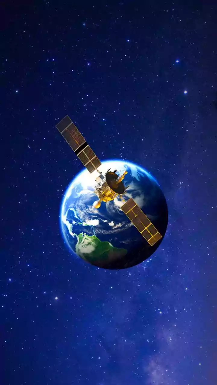
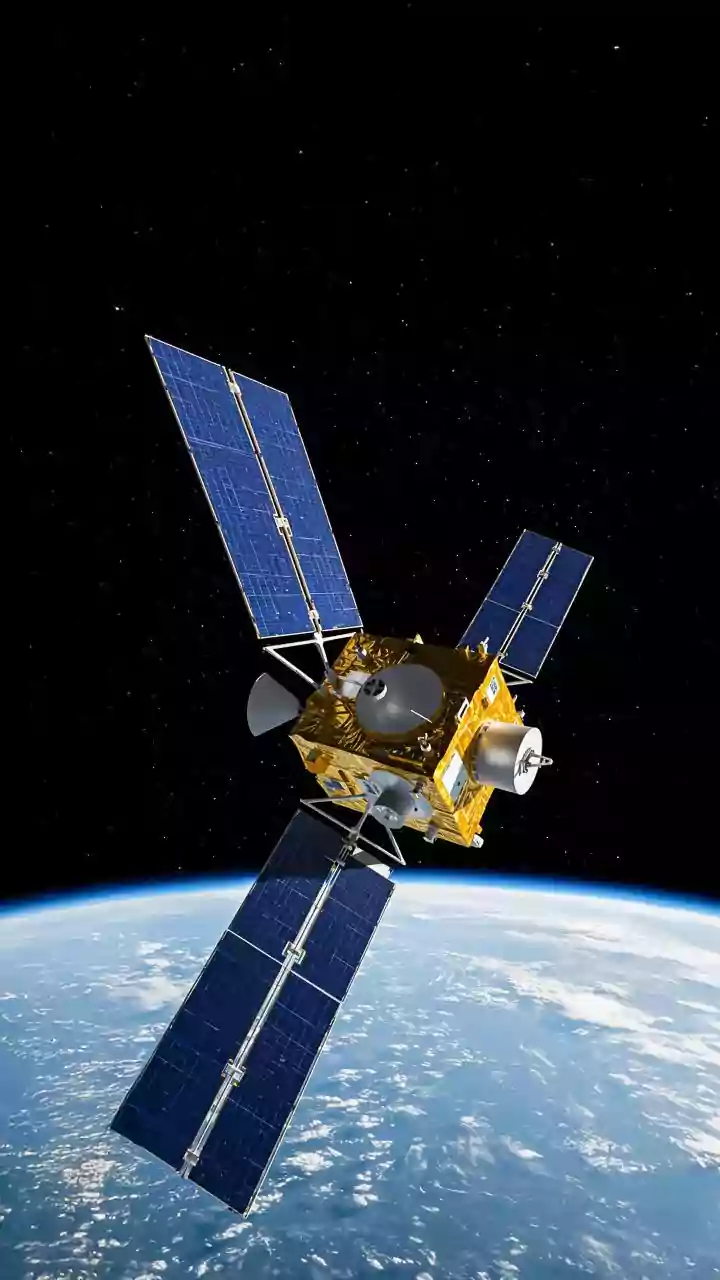
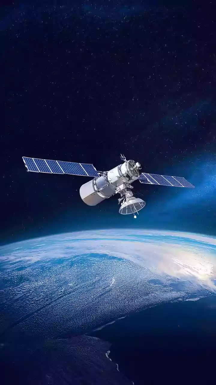
Modern weather forecasting relies heavily on two main types of satellites: geostationary and polar-orbiting. Geostationary satellites are the marathon runners of weather observation. Orbiting at about 35,800 kilometres above the equator, they match the Earth's
rotation, allowing them to stare at the same patch of the planet continuously. This provides an unbroken stream of images, crucial for tracking the real-time development of weather systems like thunderstorms. Polar-orbiting satellites are the sprinters, flying much closer to Earth—around 850 kilometres up—and circling from pole to pole multiple times a day. While they don't offer constant viewing of one area, they provide high-resolution snapshots of the entire globe over time, feeding vital data into longer-term forecast models. Together, they create a comprehensive view of our planet's atmosphere.
Seeing Beyond Visible Light
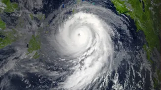
Satellite images are far more than just photographs from space. Forecasters use three main types of imagery to understand what’s happening in the atmosphere. Visible imagery (VIS) is like a standard black-and-white photo, showing reflected sunlight. Thick clouds appear bright white, making them easy to spot, but this method only works during the day. This is where Infrared (IR) imagery comes in. IR sensors detect heat, not light, allowing them to work day and night. They measure the temperature of cloud tops; very cold, bright-white clouds on an IR image often indicate high-altitude thunderstorms with the potential for heavy rain. The third type, Water Vapour (WV) imagery, specifically tracks moisture in the middle and upper atmosphere. Bright areas indicate high humidity, helping meteorologists identify the unseen fuel for future storms.
The Power of 'Nowcasting'
To predict the exact arrival time of rain, meteorologists turn to a technique called 'nowcasting'. This focuses on forecasting the weather for the immediate future, typically from 0 to 6 hours. By using a rapid succession of images from geostationary satellites, forecasters can create 'movie loops' that show the movement and evolution of clouds and storm systems. Advanced computer algorithms analyse these loops to extrapolate a storm's trajectory and speed. This process, known as optical flow, allows forecasters to predict where a specific band of rain will be in the next 15, 30, or 60 minutes with a high degree of accuracy. It’s this real-time tracking that powers the minute-by-minute rain alerts you might see on your weather app.
Data from Above, Models on the Ground
Satellite data doesn't work in a vacuum. It is a critical ingredient fed into sophisticated Numerical Weather Prediction (NWP) models. These are complex computer simulations that use the laws of physics to forecast the behaviour of the atmosphere. The continuous stream of information from satellites—on cloud cover, temperature, and moisture—provides a real-time, global starting point for these models. Without this data, the models' initial picture of the atmosphere would be far less accurate. In fact, it is estimated that around three-quarters of the accuracy of modern weather forecasts comes from satellite data. This integration is crucial, as the satellite observations help correct and refine model predictions, especially when storms develop or move differently than initially expected.
How 'Exact' is Exact?
While satellite processing has revolutionised forecasting, predicting the 'exact' arrival time remains a challenge. The atmosphere is a chaotic system, meaning tiny, unobserved changes can lead to different outcomes. A five-day forecast is generally accurate about 90% of the time, but this decreases as you look further out. Nowcasting provides the highest precision for the immediate future, but it's still a forecast, not a guarantee. Factors like storm development, dissipation, or sudden changes in direction can alter arrival times. So, while the technology can tell you that rain is highly likely to start in your area within a 15-minute window, calling it to the precise second is still beyond our reach. The goal is to continuously narrow that window of uncertainty, turning a surprise downpour into a predictable event.