
Why the Lunar Poles?
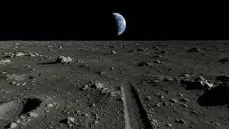
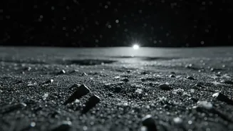
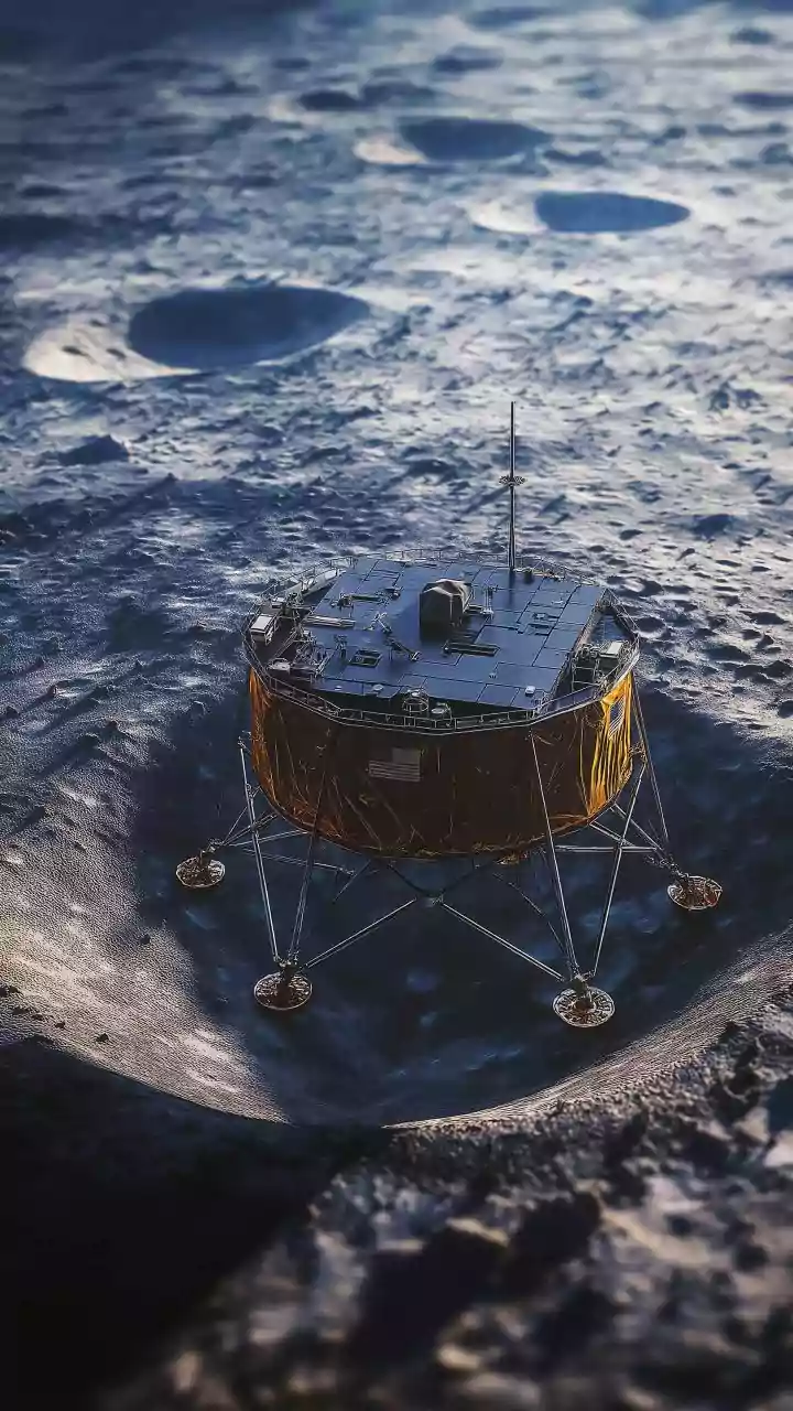
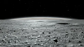
The Moon’s polar regions are home to areas known as Permanently Shadowed Regions, or PSRs. Because of the Moon's slight axial tilt, the floors of some deep craters near the poles never see direct sunlight. This creates incredibly cold environments, with
temperatures plunging to around minus 248 degrees Celsius. These ultra-cold locations act as natural 'cold traps,' capable of preserving water ice for billions of years, safe from the Sun's radiation which would otherwise break it down. While early missions focused on the Moon's equator, ISRO and other global agencies have turned their attention to the poles, believing these deep-freeze zones are the most promising places to find significant water deposits. Some of the most intriguing locations are 'doubly shadowed craters'—craters within larger craters that are even more shielded from sunlight and radiation.
Peering Beneath the Dust with Radar
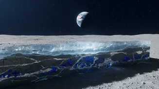
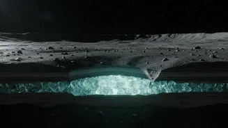
Finding water isn't as simple as taking a picture. The ice isn't expected to be a smooth, exposed sheet but is likely mixed in with lunar soil (regolith) or buried beneath it. This is where ISRO's ingenuity comes into play, primarily through instruments on the Chandrayaan-2 orbiter. The key tool for this subsurface investigation is the Dual-Frequency Synthetic Aperture Radar (DFSAR). This instrument is the first of its kind to study the Moon using two different radar frequencies, L-band and S-band. It works by sending radar pulses that can penetrate the loose lunar soil to depths of several meters. By analysing the way these signals bounce back, scientists can learn about the structure and composition of the material beneath the surface. Pure ice reflects radar signals differently than dry rock or regolith, allowing researchers to distinguish between them.
Decoding the Signals
The data sent back by the DFSAR is complex. To identify potential ice, scientists from ISRO and associated institutions like the Physical Research Laboratory (PRL) look for specific radar signatures. They analyze parameters like the Circular Polarization Ratio (CPR) and the Degree of Polarization (DOP). A high CPR value can indicate the presence of ice, but it can also be caused by very rough, rocky terrain. To solve this ambiguity, scientists combine it with a low DOP value, which measures how much the radar signal’s polarization is changed by the material it hits. This combination of a high CPR and a low DOP is considered a strong indicator of volumetric scattering, which is what you’d expect from a subsurface layer containing ice chunks mixed with soil, rather than just a rocky surface. Using this refined method, ISRO has identified several craters in the south polar region that show strong evidence of subsurface ice.
Ground-Truthing with Landers
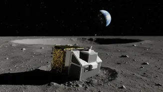
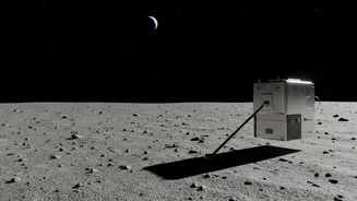
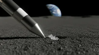
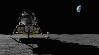
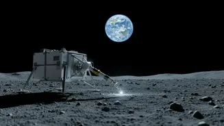
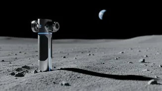
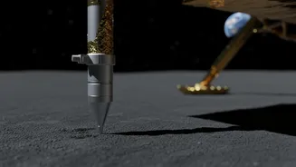
While orbiters provide the big picture, landers and rovers offer critical ground-truth data. ISRO's Chandrayaan-3 mission, which successfully landed near the south polar region in 2023, carried an instrument called the Chandra’s Surface Thermophysical Experiment (ChaSTE). This experiment deployed a probe that penetrated 10 cm into the lunar soil to measure the temperature profile. It found a surprisingly large temperature difference between the surface, which was over 50 degrees Celsius, and just a few millimeters below, where it dropped to minus 10 degrees Celsius. This indicates that the lunar topsoil is a fantastic insulator. This data is crucial for understanding water retention because it helps model how stable subsurface ice would be. If the surface layers effectively insulate the depths from solar heat, it widens the potential areas where ice could be preserved, even outside the permanently dark craters.