






A Land Shaped by Water and Risk
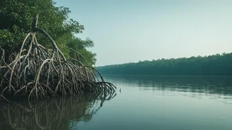
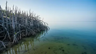
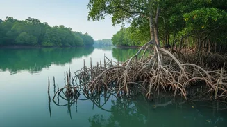
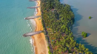
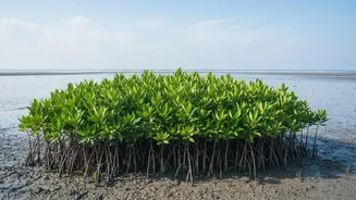
The Sundarbans, a UNESCO World Heritage site sprawling across India and Bangladesh, is one of the world's most dynamic and vulnerable deltaic landscapes. Its low-lying topography and intricate network of tidal creeks make it inherently susceptible to flooding.
This natural vulnerability is being dangerously amplified by climate change, leading to rising sea levels, increased soil and water salinity, and more frequent and intense cyclones. Events like Cyclones Aila, Amphan, and Yaas have demonstrated the devastating power of storm surges, which can inundate islands, destroy crops with saline water, contaminate fresh drinking ponds, and demolish homes and infrastructure. For the communities that depend on agriculture, fishing, and forest resources, predicting the behaviour of the tides isn't just a matter of convenience—it's a matter of survival.
Introducing the Digital Watchtowers
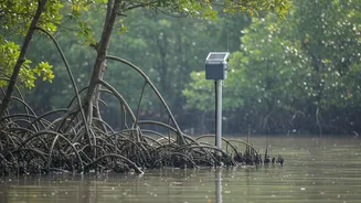
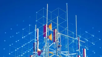
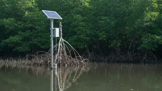
Enter telemetry networks, a modern solution to an age-old problem. In simple terms, a telemetry system uses sensors to collect data from remote or inaccessible points and transmits it to a central location for monitoring and analysis. Think of it as a digital watchtower. Instead of a person scanning the horizon, automated sensors are constantly measuring critical environmental parameters. These Internet of Things (IoT) enabled devices form a network that acts as the eyes and ears on the water, providing a continuous stream of information that was previously impossible to gather efficiently in such a complex and remote environment. This technology is at the heart of modern Early Warning Systems (EWS) designed to give communities and authorities a crucial head start against impending disasters.
What Data Is Being Gathered?
The effectiveness of any warning system depends on the quality and relevance of its data. In the Sundarbans, telemetry networks are deployed to measure several key variables. The most crucial is the real-time water level, often measured by ultrasonic sensors that are waterproof and reliable. These devices precisely track the rise and fall of tides and surges. Other sensors gather data on water flow velocity, salinity, and atmospheric pressure. Salinity is particularly important, as saltwater intrusion ruins agricultural land for years. By combining these hydrological readings with meteorological data like rainfall intensity and wind speed, a comprehensive picture of the environmental conditions emerges. This multi-faceted data collection allows for more accurate and reliable flood forecasting.
From Raw Data to Life-Saving Alerts
Collecting data is only the first step. The magic happens when this information is translated into actionable warnings. The data from sensor networks is transmitted wirelessly, often using low-power, long-range technology like LoRaWAN, to a central processing hub. There, computer models and machine learning algorithms analyse the incoming data streams in real-time. These systems can identify abnormal patterns, such as a rapidly rising water level that deviates from the normal tidal cycle, and predict the likely extent and depth of flooding. Once a threat is confirmed, the early warning system triggers a multi-channel alert. This can include sending automated SMS messages to residents, activating public loudspeaker systems, and notifying disaster management teams and local government bodies, enabling them to initiate evacuation procedures and prepare resources.
Impact and Future Challenges
The implementation of technology-driven early warning systems has shown a clear impact on reducing the loss of life and property during recent cyclones. Receiving timely warnings allows households to secure assets, protect livestock, and move to designated shelters. However, significant challenges remain. Many communities still rely on informal networks for warnings, and ensuring alerts reach the 'last mile'—the most isolated and vulnerable populations—is a persistent issue. Furthermore, these high-tech systems require consistent maintenance and a reliable power supply, which can be difficult to secure in the remote islands of the Sundarbans. The most effective approach combines this modern technology with community-based disaster preparedness, integrating scientific data with local knowledge and ensuring that everyone, especially the most marginalized, receives and understands the warnings.