





A New Foundation for Earth Science
In partnership with IBM, NASA has developed and open-sourced a new class of AI known as a “foundation model” for geospatial data. The first of these models was named Prithvi, the Sanskrit word for Earth. Unlike traditional AI, which is trained for a single,
specific task, a foundation model is trained on a massive, broad set of unlabeled data. This allows it to learn underlying patterns that humans might miss, creating a versatile base that can be easily adapted for numerous different tasks. By making these models open-source and publicly available, NASA and IBM hope to accelerate innovation and empower scientists worldwide to build new applications for monitoring our planet.
From Data Overload to Actionable Insight
NASA is facing a data deluge. By 2024, the agency was projected to hold around 250,000 terabytes of data from its Earth-observing missions, a number that is constantly growing. Sifting through this colossal amount of information to find meaningful insights is a major challenge for scientists. The new AI models are designed to solve this exact problem. Trained on years of high-resolution satellite imagery from NASA's Harmonized Landsat Sentinel-2 (HLS) dataset, these models can rapidly analyze vast archives of data. This turns a time-consuming manual process into an efficient, automated one, freeing up researchers to focus on analysis and discovery.
Supercharging Climate Predictions
The implications for climate science are enormous. These foundation models can be fine-tuned for a wide array of critical tasks with much less effort than starting from scratch. For instance, they can be used to track deforestation, identify the extent of floodwaters after a storm, monitor the health of crops to predict yields, and map burnout scars left by wildfires. More recent versions of the AI, like Prithvi-Weather-Climate, are being trained on 40 years of atmospheric data to improve weather and climate projections. This could lead to more accurate hurricane tracking and a better understanding of how global events, like melting ice sheets, will impact local communities. One NASA official even cited the model's use in identifying flooding in India as a key application.
An AI in Orbit
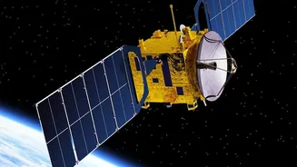
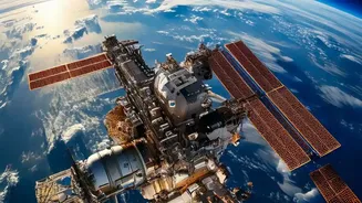
The technology took another leap forward in May 2026, when researchers successfully demonstrated the Prithvi model aboard an orbiting platform for the first time. This achievement makes it the first geospatial foundation model to be deployed in space. Having the AI directly on satellites could revolutionize how data is processed, allowing for real-time analysis and potentially even letting scientists interact with instruments in natural language. Instead of beaming massive raw datasets back to Earth for processing, the satellite could perform the analysis onboard and send back only the crucial insights. This not only speeds up the process but also reduces the burden on ground stations. As NASA continues to develop more foundation models for different scientific fields, this in-orbit capability will become increasingly important.