




The Promise of a Constant Eye in the Sky
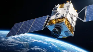
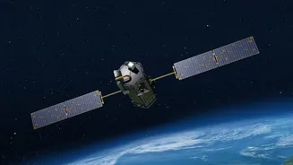
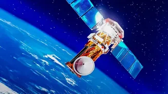
The satellite known as GISAT-1, or EOS-03, was designed to be a game-changer for India. Unlike conventional Earth observation satellites that orbit from pole to pole and pass over a specific area only at certain times, GISAT-1 was destined for a geostationary
orbit (GEO). Stationed approximately 36,000 kilometres above the equator, it would have moved in sync with the Earth's rotation, effectively remaining fixed over the Indian subcontinent. This unique position would have allowed it to provide near real-time imagery of large areas, imaging the entire Indian landmass every 30 minutes and specific sectors of interest as frequently as every five minutes. Its purpose was broad and vital: quick monitoring of natural disasters, gathering crucial data for agriculture and forestry, and providing an unprecedented surveillance capability.
Why Geostationary is a Game-Changer
Most earth observation satellites operate in a Low Earth Orbit (LEO), which is much closer to the planet. This proximity allows for very high-resolution images. However, their constant motion means they can only see a specific location for a short period before moving on, returning for another look only hours or even days later. This is a significant limitation when tracking dynamic events like a cyclone making landfall, troop movements across a border, or the spread of a forest fire. A geostationary satellite, by contrast, offers persistence. It trades some resolution for the ability to stare continuously at one region, providing a constant stream of data that is closer to a live video feed than a series of snapshots. This capability shifts surveillance from periodic check-ins to persistent monitoring.
The Urgent Need for Speed and Persistence
For India, the need for faster, more persistent satellite imaging is driven by two critical factors: national security and disaster management. With active and often tense borders, the ability to monitor adversary movements and infrastructure build-up without delay is paramount. Relying on satellites that pass over an area once or twice a day leaves significant blind spots where crucial activities can be missed. Similarly, as a country prone to natural disasters like cyclones, floods, and earthquakes, the ability to get real-time, wide-area imagery can dramatically improve response times, save lives, and help manage resources more effectively. Current satellite assets, like the Cartosat and RISAT series, are highly capable but operate in polar orbits, making them part of a system that GISAT-1 was meant to complement with its unique, constant watch.
A Setback That Highlighted the Stakes
The ambition of the GISAT-1 mission was met with a significant setback. In August 2021, the GSLV-F10 rocket carrying the satellite failed during its flight due to a technical anomaly in its cryogenic upper stage. The satellite was lost, and the mission could not be accomplished. While launch failures are an inherent risk in space exploration, this loss was particularly acute because it delayed a critical strategic capability India had been working towards for years. Rather than diminishing the program's importance, the failure only underscored the technical challenges and reinforced the urgency of the mission's objectives. It highlighted just how vital this 'eye in the sky' was, and still is, to India's strategic autonomy.
The Path Forward: Doubling Down on a Critical Vision
The vision that GISAT-1 represented is far from abandoned. In fact, recent developments show that the drive for sovereign, real-time surveillance is stronger than ever. ISRO has been preparing for the launch of EOS-05, a successor to GISAT-1, which aims to finally place a geo-imaging satellite into its intended orbit. Furthermore, India is fast-tracking a broader expansion of its space-based surveillance capabilities, with plans for a constellation of up to 52 satellites to be deployed across different orbits. This new architecture, combining the efforts of ISRO and the private sector, aims to create a resilient and integrated intelligence, surveillance, and reconnaissance (ISR) network. Recent successes from Indian space-tech startups, like the launch of the 'Drishti' satellite that can see through clouds and darkness, further prove that the ecosystem is maturing rapidly.