




The Relentless Threat of a Changing Coastline
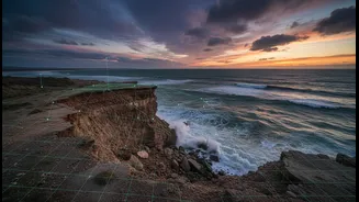
For millions of people living along India's 7,500-kilometre coast, the sea is both a provider and a growing threat. Recent data reveals a worrying trend: approximately one-third of the nation's coastline is experiencing erosion, a dynamic process where
land is steadily lost to the ocean. This isn't just about losing beaches; it's about the loss of agricultural land, the salinisation of drinking water, and the destruction of homes and infrastructure. Traditional methods for tracking these changes, such as physical surveys on the ground, are often costly, time-consuming, and limited in scope, making it difficult to get a complete picture of a problem that spans thousands of kilometres.
Eyes in the Sky: The Power of Satellite Data
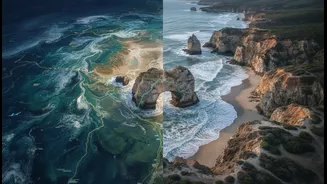
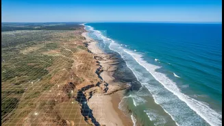
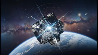
Enter the era of satellite remote sensing. Earth-observing satellites, like those in the Landsat and Sentinel programs, act as powerful 'eyes in the sky', capturing detailed images of our planet's surface at regular intervals. For coastal management, this technology is a game-changer. By analysing a time-series of these images, scientists can precisely identify the 'waterline'—the boundary between land and sea—and track its movement over months, years, and even decades. This allows for the creation of accurate, large-scale maps that show where erosion is happening, how fast it's occurring, and which areas are most at risk. This data is crucial for urban planning, disaster management, and protecting vital coastal ecosystems like mangroves.
Wisdom on the Shore: The Value of Indigenous Knowledge
But satellite data, for all its precision, only tells part of the story. It can show the 'what' and 'where', but often misses the 'why' and the nuanced, lived experience of environmental change. This is where Traditional Ecological Knowledge (TEK) becomes invaluable. For generations, coastal communities, particularly fishing villages, have accumulated a deep, practical understanding of their environment. This knowledge, passed down through oral history and direct observation, includes detailed insights into local currents, sediment movement, historical storm impacts, and changes in marine life. It provides context that a satellite image alone cannot capture, turning abstract data points into a grounded, human-centred narrative of change.
A Powerful Partnership: How They Work Together
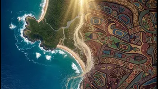
The true innovation lies in bringing these two powerful knowledge systems together. This collaborative approach, sometimes called co-assessment, treats scientific data and local knowledge as equally valid and complementary sources of evidence. For instance, a satellite might detect accelerated erosion in a specific bay. Local fishers could then explain that this change coincided with a shift in offshore dredging or the decline of a specific type of seagrass that used to bind the sediment. This synergy works both ways: Indigenous observations can guide scientists on where to focus their satellite analysis, while satellite maps can provide local communities with quantitative evidence to validate their long-held observations, strengthening their voice in planning and policy discussions.
From Data to Action: Empowering Local Communities
When communities are involved in creating these hybrid maps, it fosters a sense of ownership and empowerment. The process transforms local residents from passive victims of environmental change into active participants in monitoring and managing their own resources. These locally-grounded maps are not just scientific documents; they are powerful tools for advocacy. They can be used to negotiate with government agencies, influence infrastructure projects, and develop tailored adaptation strategies—like mangrove restoration or the relocation of vulnerable assets—that are both scientifically sound and culturally appropriate. By bridging the gap between large-scale data and local reality, this integrated approach provides a robust foundation for building resilient coastal communities in the face of climate change.