






The Conventional, Flawed View
For decades, many climate models used to forecast future conditions have treated rivers as simple pipes. They are programmed as fixed conduits that transport a certain volume of water from point A to point B. These models are incredibly complex, but in simplifying
rivers, they overlook a fundamental truth: rivers are not static. This approach focuses almost exclusively on water volume, or discharge, driven by rainfall and snowmelt. While useful, this view misses how the river itself responds to the water it carries, a critical factor as climate change intensifies hydrological cycles. It’s like predicting traffic flow without considering that the road itself might shrink, expand, or move entirely.
Rivers as Living, Breathing Systems
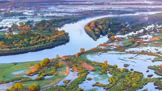
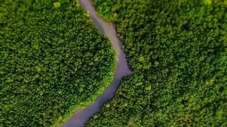
In reality, rivers are dynamic, living ecosystems. The field of fluvial geomorphology studies how they actively shape and are shaped by the landscape. Rivers erode their banks, deposit sediment to build new land, and change course over time—a process called meandering. These processes are influenced by the flow of water, the amount of sediment it carries, and the composition of the riverbanks. This constant state of flux creates diverse habitats for fish and other aquatic species and maintains the health of surrounding floodplains. Ignoring these physical changes means we are not just miscalculating water flow; we are ignoring the entire physical and ecological response of the river system.
How Climate Change Accelerates Change
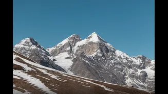
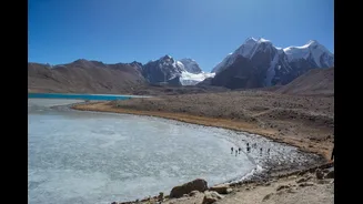
Climate change is putting this entire system into overdrive. In regions like the Himalayas, often called Asia's "Water Tower," rising temperatures are melting glaciers and thawing permafrost at an accelerated rate. This doesn't just increase water flow; it sends massive amounts of sediment into rivers and weakens riverbanks, making them highly susceptible to erosion. Studies using decades of satellite imagery have shown that Himalayan rivers are now migrating and changing course much faster than before. More frequent extreme rainfall events also trigger flash floods that carry immense power, capable of carving new channels overnight. As a result, river seasonality—the predictable rise and fall of water levels—is weakening in many parts of the world, making them far less predictable.
The Blind Spot in Our Predictions
This is the crucial blind spot in our climate assessments. When models don't account for a river's ability to move, change shape, and carry more sediment, their predictions for flood risk, water security, and infrastructure stability can be dangerously inaccurate. For communities in India that depend on rivers like the Ganga and Brahmaputra, the stakes are immense. Faster river migration threatens to undercut bridges, damage dams, and erode valuable agricultural land. It can also alter groundwater recharge patterns, affecting water availability for millions. If our plans for adapting to climate change are based on an incomplete picture of how our most vital water sources will behave, we are setting ourselves up for failure.
A New, Integrated Approach
Scientists are now calling for a more integrated approach that combines hydrology with fluvial geomorphology. This means creating climate assessments that model not just how much water will be in a river, but how the river's physical form will respond. This involves incorporating data on sediment loads, riverbank stability, and historical channel migration patterns. By treating rivers as the complex, dynamic systems they are, we can develop more robust and realistic projections. This allows for smarter planning, such as designing infrastructure that can withstand a river that moves, or establishing development setbacks in areas prone to future erosion.