




The Unseen Preparation
Long before the first distress call, disaster management agencies like the National Disaster Response Force (NDRF) are preparing for the inevitable. A crucial part of this preparation involves creating detailed digital maps of flood-prone regions. This
isn't just about tracing rivers; it's about integrating layers of data using Geographic Information Systems (GIS). Operators use GIS to overlay topographical maps with population density, locations of vulnerable communities, and critical infrastructure like hospitals and shelters. By precisely mapping elevation data, they can identify low-lying areas most at risk and pinpoint higher ground that can serve as safe zones, effectively creating a playbook for evacuations before a drop of rain falls.
More Than Just Navigation
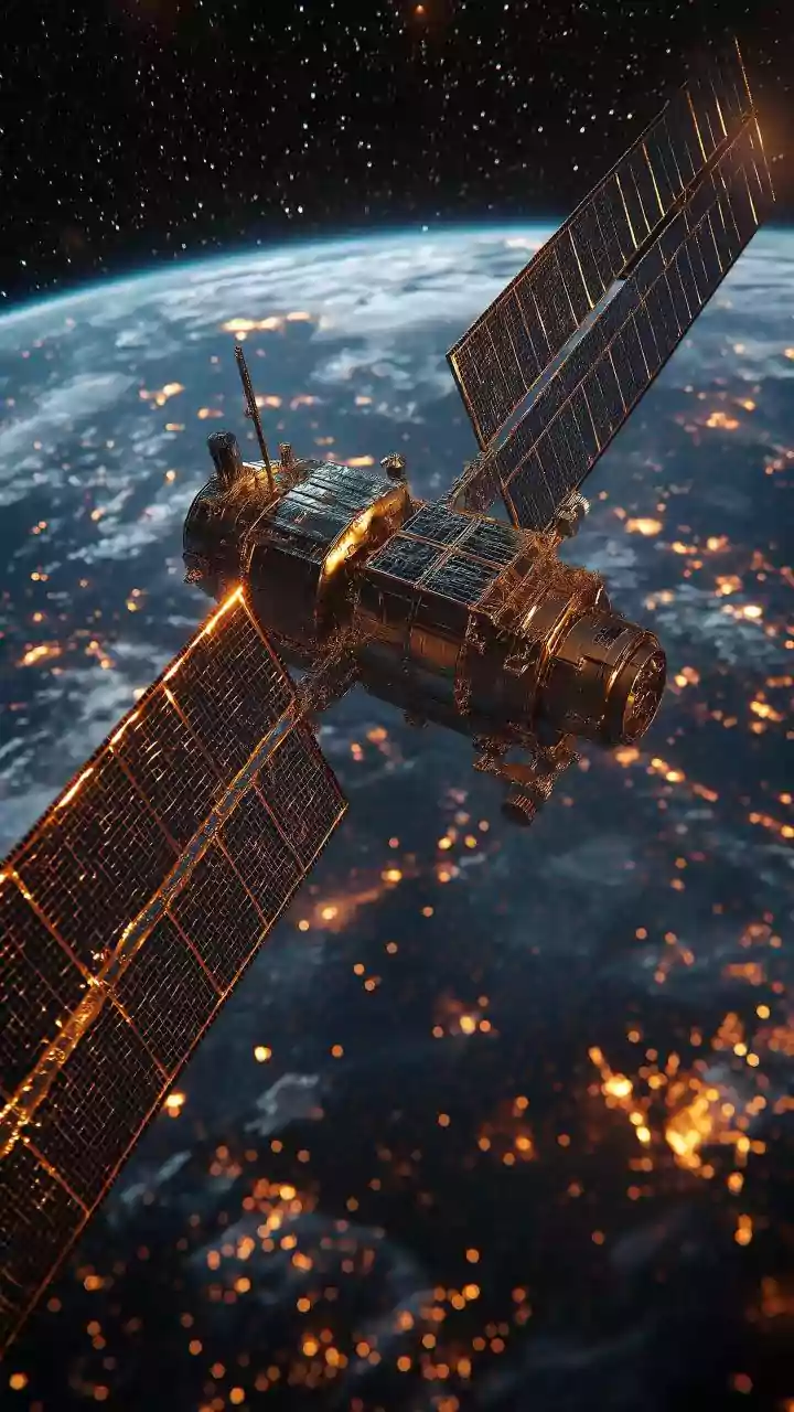
In disaster management, GPS technology is part of a larger ecosystem. While a standard GPS unit gives you your location, its power is magnified when combined with other technologies. Satellite remote sensing, for example, helps monitor the extent of flooding in near real-time, allowing command centres to see how a situation is evolving on the ground. Drones equipped with high-resolution cameras and GPS receivers have become indispensable tools. They can fly over inaccessible, inundated areas to locate stranded individuals, assess damage to roads and bridges, and provide a live aerial view to guide rescue teams on the ground or in boats.
Command and Control in Real-Time
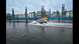
Once a flood hits, the focus shifts to response, and coordination becomes paramount. A central command centre uses GIS dashboards that integrate real-time data. GPS trackers on rescue boats, vehicles, and even personnel allow commanders to see the location of all their assets at once. This provides a 'common operating picture' for all agencies involved. An operator can see a call for help from a stranded family, identify the nearest rescue team via their GPS location, and guide them along the safest, quickest route, avoiding newly formed obstacles or dangerously high water levels identified by drones or satellite imagery. This level of situational awareness is a game-changer, turning a chaotic scramble into a coordinated, efficient operation.
The Human Factor and Ground Truth
Technology is a powerful enabler, but it's the trained personnel who make the life-saving decisions. The NDRF and State Disaster Response Force (SDRF) are highly trained in using these tools, but also in understanding their limitations. A map can show a safe route, but an experienced boat operator knows how to read the water currents that the map can't show. In recent years, crowdsourced information has also become a valuable, if sometimes unreliable, source of 'ground truth'. Citizens report flooded streets or ask for help via social media, often with geo-tagged data from their smartphones, providing an additional layer of information that official channels can verify and act upon.
Overcoming Modern Challenges
The use of this technology is not without its hurdles. Heavy monsoon clouds and rainfall can sometimes interfere with GPS signals. Power outages, a common occurrence during floods, can disable communication towers and command centres. Furthermore, maps are only as good as their most recent update; rapidly developing urban areas mean that what was an open field last year might be a housing complex this year, a detail that must be reflected in disaster plans. To counter this, agencies are constantly working to update their databases and exploring technologies like AI to predict flood progression and optimize resource deployment even more effectively.