





ISRO's Watchful Eye on the Water
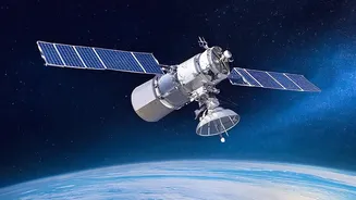
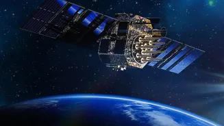
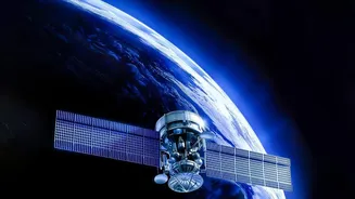
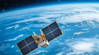
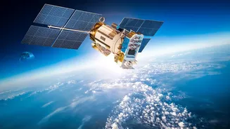
Since 1999, the Indian Space Research Organisation (ISRO) has been deploying a specialised family of Earth observation satellites dedicated to studying our oceans. Known as the OceanSat series, these advanced platforms orbit the Earth, providing continuous
data on oceanographic and atmospheric conditions. The programme began with OceanSat-1 and was followed by OceanSat-2 in 2009. The latest in the series, OceanSat-3 (also called EOS-06), launched in November 2022, continuing the mission with significantly enhanced capabilities. These satellites are not just scientific instruments; they are a crucial part of India's infrastructure for managing marine resources, ensuring safety at sea, and understanding the complex interplay between the ocean and the atmosphere.
The Science of Seeing the Sea
OceanSat satellites are equipped with a suite of powerful sensors designed to capture specific information about the ocean that is invisible to the naked eye. The primary instruments include an Ocean Colour Monitor (OCM), a Scatterometer, and a Sea Surface Temperature Monitor (SSTM). The OCM is a highly sensitive camera that measures the colour of the ocean across multiple spectral bands. Subtle shifts in colour can indicate the presence and concentration of phytoplankton—microscopic marine algae. The Scatterometer is a microwave radar instrument that measures the roughness of the sea surface. By analysing the backscattered radar signals, scientists can accurately determine wind speed and direction over the ocean. The SSTM, as the name suggests, measures the temperature of the very top layer of the sea. Together, these instruments provide a comprehensive, three-dimensional view of what is happening in the ocean at any given time.
Forecasting Cyclones and Weather Fronts
One of the most critical applications of the OceanSat series is in weather forecasting, particularly for predicting and tracking cyclones. The data from the Scatterometer is invaluable for this purpose. Cyclones form over warm ocean waters, and their intensity is fuelled by the heat and moisture they draw from the sea. The scatterometer provides real-time wind vector data, allowing meteorologists to detect the formation of low-pressure systems over the ocean, monitor their development into cyclones, and predict their path and intensity. This information is crucial for issuing timely warnings to coastal populations, fishermen, and maritime authorities. Early warnings enabled by satellite data save lives by giving communities time to prepare and evacuate, transforming disaster management from a reactive to a proactive exercise.
Guiding Fishermen to a Better Catch
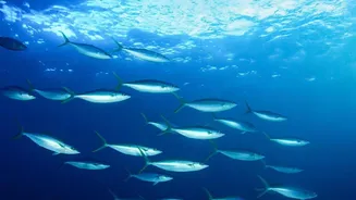
Perhaps the most direct and economically significant impact of the OceanSat programme is its assistance to India's fishing community. The satellite doesn't directly spot fish from space. Instead, it finds their food source. The Ocean Colour Monitor detects chlorophyll, which indicates the presence of phytoplankton. These phytoplankton blooms are the base of the marine food web, attracting small fish, which in turn attract larger, commercially valuable fish. This data, combined with sea surface temperature readings, is used by the Indian National Centre for Ocean Information Services (INCOIS) to generate Potential Fishing Zone (PFZ) advisories. These advisories are sent out daily to hundreds of fishing villages in their local languages, providing coordinates that guide fishermen to areas with a high probability of finding fish.
The Real-World Impact
The PFZ advisories have revolutionised fishing for many. By knowing where to go, fishermen save enormous amounts of time and diesel fuel that would otherwise be spent searching randomly for a catch. Studies have shown significant savings, with one report from a village in Maharashtra noting a reduction of 70,000 litres of diesel in a single month. This not only increases the profitability of each fishing trip but also reduces the carbon footprint of the fishing industry. It's a powerful example of how space technology can provide tangible benefits, turning a satellite orbiting 700 kilometres above the Earth into a vital tool for a fisherman on a small boat, enhancing both their livelihood and their safety.