





India’s Existing Shield
Following the devastating 2004 Indian Ocean tsunami, India established a robust early warning system. At its heart is the Indian National Centre for Ocean Information Services (INCOIS) in Hyderabad. This state-of-the-art facility operates 24/7, using
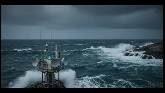
a network of seismic stations, deep-ocean bottom pressure recorders, and coastal tide gauges to detect tsunamigenic earthquakes and monitor their progression. For tsunamis, INCOIS is equipped to issue warnings within 10 minutes of a major earthquake in the Indian Ocean. The system has been highly effective, earning international recognition from UNESCO for its role as a regional service provider to other Indian Ocean nations. Beyond tsunamis, INCOIS and the India Meteorological Department (IMD) provide crucial forecasts for cyclones, storm surges, and high waves, which are a more frequent threat.
The Evolving Threat
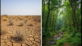
The climate crisis is changing the nature of oceanic threats. The Arabian Sea, historically less prone to severe cyclones than the Bay of Bengal, has seen a significant increase in cyclone frequency, duration, and intensity in recent decades. Scientists have noted that rising sea surface temperatures contribute to the rapid intensification of these storms. This puts communities and infrastructure on India's western coast, from Kerala to Gujarat, at a higher risk than ever before. Furthermore, sea-level rise is a chronic threat that exacerbates the impact of storm surges, allowing floodwaters to penetrate further inland and salinize freshwater sources. These intensifying hazards mean that the warning windows provided by even the best current systems are shrinking, demanding faster detection and dissemination.
The Need for Speed: What 'Faster' Means
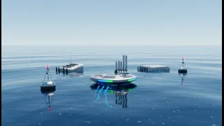
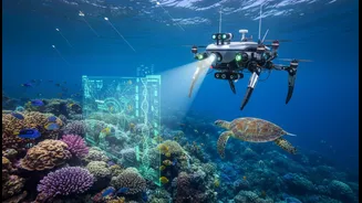
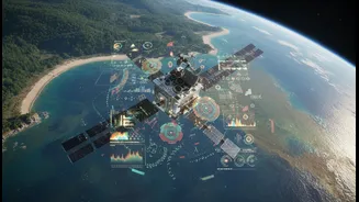
Achieving faster and more accurate warnings involves integrating next-generation technologies. Artificial Intelligence (AI) and the Internet of Things (IoT) are at the forefront of this evolution. AI algorithms can process vast amounts of data from satellites, ocean buoys, and ground sensors in real-time, identifying complex patterns that might precede a disaster much earlier than human analysis alone. For instance, AI can improve cyclone track and intensity forecasts, filter out false alarms, and even predict the extent of coastal inundation. INCOIS is already moving in this direction, commissioning a new AI-powered high-performance computer called 'Tarang' to sharpen forecasts. This is complemented by expanding networks of IoT sensors that provide a continuous, real-time stream of environmental data, from wave height to water levels, giving authorities a live picture of emerging risks.
More Than Just Saving Lives
The benefits of faster warnings extend far beyond immediate life-saving evacuations. For India's coastal economy, every minute of advance notice is crucial. It allows fishermen to secure their boats and nets, ports to manage shipping traffic, and coastal industries to protect valuable assets. The United Nations has estimated that every dollar invested in disaster risk reduction can save up to 15 dollars in post-disaster recovery. Early warning systems provide one of the highest returns on investment among all climate adaptation measures. For millions of people whose livelihoods depend on the sea, timely advisories on everything from potential fishing zones to sudden high waves (swell surges) can mean the difference between a profitable day and a devastating loss. Improved systems also help manage risks to critical infrastructure, including nuclear power plants located along the coast, which face amplified flood risks from storm surges and rising sea levels.