
The Most Valuable Resource in Space
For any long-term human presence on the Moon, water is everything. It’s more than just something for astronauts to drink. Through electrolysis, water (H₂O) can be split into breathable oxygen and hydrogen, a powerful rocket propellant. This ability to 'live
off the land' by using local resources—a concept known as in-situ resource utilization (ISRU)—is the key to making lunar exploration sustainable. Without accessible water, every drop of water, ounce of air, and pound of fuel would need to be launched from Earth at immense cost. For decades, scientists theorized that water ice could be trapped in permanently shadowed craters at the Moon’s poles, and missions like India's Chandrayaan-1 provided compelling evidence. Now, the focus has shifted from merely confirming its existence to mapping it in detail.
A Cosmic Divining Rod
So, how do you find water that's potentially mixed with soil and buried in the darkest, coldest parts of the solar system? You can't just look. Instead, scientists use a clever tool called a neutron spectrometer. Think of it as a cosmic divining rod. The lunar surface is constantly bombarded by galactic cosmic rays, which creates a spray of particles, including neutrons. The spectrometer doesn't look for water directly; it looks for hydrogen, the 'H' in H₂O. When neutrons from the soil travel through a hydrogen-rich material like water ice, they lose a specific amount of energy. The spectrometer, orbiting high above, measures the energy of neutrons escaping the Moon's surface. A dip in the number of medium-energy neutrons is a strong indicator that hydrogen—and therefore likely water ice—is present beneath the surface.
Creating the Treasure Map
While earlier missions like NASA's Lunar Prospector first used this technique to suggest large amounts of hydrogen at the poles, the latest generation of instruments is providing much higher-resolution data. These advanced spectrometers, flown on recent orbiters and planned for future rovers, are moving beyond broad-stroke indications to create detailed maps. These maps pinpoint specific craters and even areas within those craters that show the strongest hydrogen signatures. This new level of detail is crucial because it allows mission planners to identify the most promising and accessible locations for future robotic and human landings. It’s the difference between knowing there’s treasure in a country and having a map leading directly to the buried chest. These maps indicate that while some ice is mixed into the lunar soil, or 'regolith', other deposits may exist in more concentrated, accessible forms.
Fueling the Artemis Generation
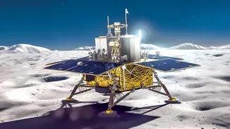
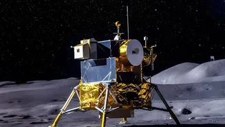
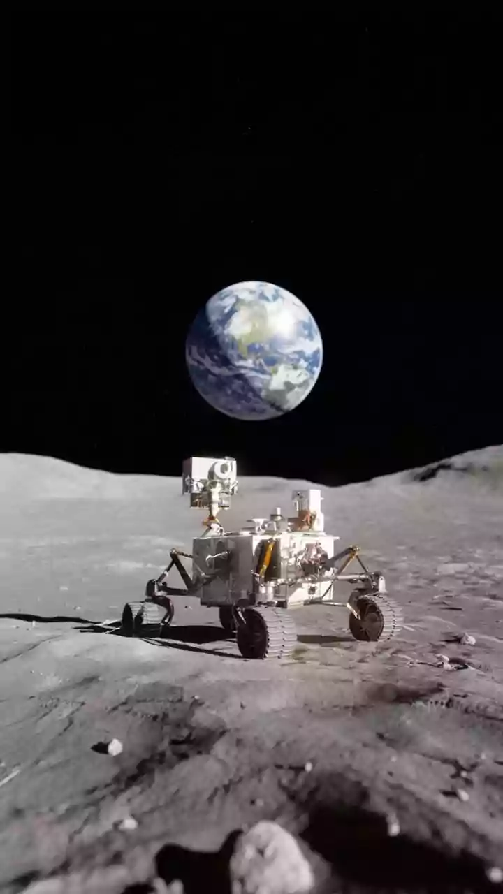
This detailed mapping is a direct enabler for NASA's Artemis program, which aims to establish a long-term human presence on the Moon. Artemis missions are targeting the lunar south pole precisely because of these water ice deposits. International collaboration is also key. The upcoming Lunar Polar Exploration (LUPEX) mission, a joint effort between the space agencies of Japan (JAXA) and India (ISRO), will carry a NASA-provided Neutron Spectrometer System to the surface to get an even closer look. This ground-truthing is a critical next step. Data gathered from orbit is invaluable for identifying hotspots, but rovers on the surface can provide definitive confirmation of the quantity and purity of the ice. These efforts will inform where to build the first lunar base and how to design the equipment needed to excavate and process this vital resource.
From Data to Drilling
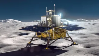
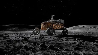
The journey from spectrometer data to a functioning water tap on the Moon is still a long one. After identifying prime locations from orbit, the next phase involves sending robotic prospectors. Future rovers, like those planned under the Artemis program and international partnerships, will not only carry spectrometers but also drills. These missions will confirm the depth, concentration, and composition of the ice deposits. Recent studies have even proposed using seismic waves—essentially listening to 'moonquakes'—to map buried ice, a technique that could be tested by China's Chang'e-7 mission in late 2026. This on-the-ground exploration will answer the final, crucial questions before astronauts arrive with the heavy machinery needed for extraction. The data maps being created today are the essential first step in that complex and exciting process.