





An Annual Crisis
Every year, vast swathes of India brace for the monsoon's deluge. While essential for agriculture, these rains often lead to catastrophic flooding, particularly in states along the Ganges and Brahmaputra river basins. On average, floods affect 7.5 million
hectares of land annually, causing immense damage to homes, crops, and infrastructure, alongside a tragic loss of life. India's existing flood forecasting systems have made progress, but significant gaps remain. Many warnings lack localised, impact-based details, and the 'last-mile' connectivity to get information to the most vulnerable populations is often a challenge. This is the critical gap that new technology is hoping to fill.
A New Eye in the Sky: What is NISAR?
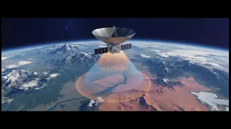
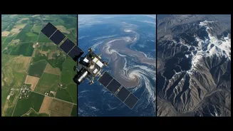
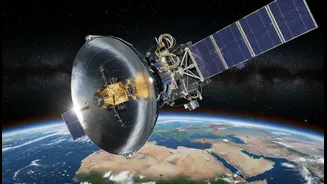
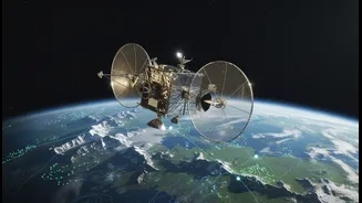
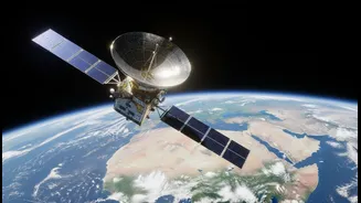
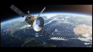
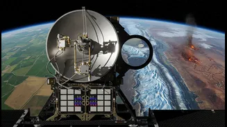
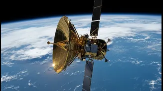
NISAR is a groundbreaking Earth observation satellite, jointly developed by the Indian Space Research Organisation (ISRO) and the US's National Aeronautics and Space Administration (NASA). Launched in 2025, it is one of the most advanced and expensive Earth-imaging satellites ever built. Its primary mission is to provide highly detailed data on changes to our planet's land and ice surfaces. What makes NISAR special is its payload: two different types of radar systems, an L-band and an S-band, which work together to scan the globe every 12 days. Unlike optical satellites that need clear skies and daylight, NISAR uses a technology called Synthetic Aperture Radar (SAR).
The Superpower of Seeing Through Clouds
Synthetic Aperture Radar is an active remote sensing technology, meaning the satellite sends its own microwave pulses towards the Earth and measures the signals that bounce back. This gives it two crucial advantages for flood monitoring. First, it can operate day and night. Second, and most importantly, its radar signals can penetrate clouds, rain, and fog—conditions that render traditional optical satellites blind. When radar signals hit a calm water surface, they bounce away from the satellite, causing flooded areas to appear as dark patches in the final image. In contrast, dry land or rough surfaces scatter the signal back, appearing much brighter. This stark contrast allows for highly accurate mapping of floodwater extent.
From Raw Data to Actionable Intelligence
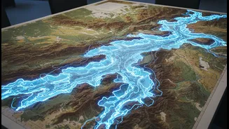
The data from NISAR can revolutionize flood management at every stage. Before a flood, it can help create detailed risk maps by identifying low-lying areas. During a flood, its all-weather capability allows for near real-time tracking of how far the water is spreading, even in remote or cloud-covered regions. This is invaluable for disaster response teams trying to plan evacuation routes and deploy resources effectively. Furthermore, NISAR's L-band radar can even penetrate vegetation, allowing it to detect water under forest canopies or across flooded croplands—a capability that has been difficult with previous satellites. After the water recedes, the data can be used to precisely assess the extent of damage to agriculture and infrastructure, aiding in recovery efforts.
A Tool for a Safer Future
NISAR will provide a continuous stream of high-resolution images that can augment India's ground-based monitoring systems, like river gauges. By comparing images taken before and during a flood, authorities can measure changes in water levels with centimetre-level accuracy, effectively creating 'virtual stream gauges' across the entire country. This detailed information can feed into more accurate and timely flood models, improving the quality of early warnings issued to the public. The data, which will be made freely and openly available, will empower scientists, disaster management agencies, and policymakers to make more informed decisions. While technology alone is not a silver bullet, NISAR provides a powerful new tool to better understand, predict, and mitigate the impact of floods.