



A Land Forged by Tectonic Collision
The story of Nepal's beauty and its danger begins deep within the Earth. The country sits directly on the collision zone where the Indian tectonic plate continuously pushes northward under the Eurasian plate at a rate of about five centimetres per year.
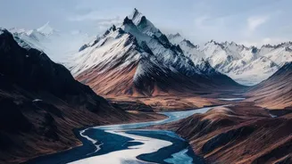
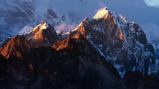
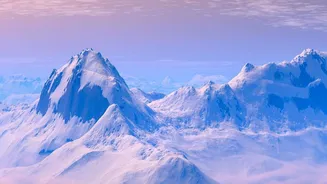
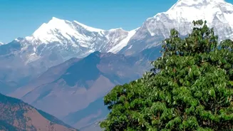
This immense geological pressure is what has uplifted the Himalayas, creating the world's tallest and most dramatic mountain range. While this process gives Nepal its iconic, snow-capped peaks, it also makes the region one of the most seismically active on the planet. The constant grinding of the plates builds up enormous stress that is periodically released in the form of powerful earthquakes, like the devastating tremor that struck the Kathmandu Valley in 2015. In Nepal, an earthquake is rarely an isolated event; the violent shaking of the ground frequently triggers a cascade of secondary disasters.
The Peril of Steep and Fragile Slopes
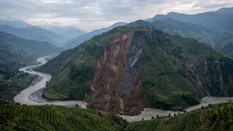
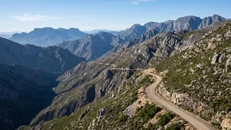
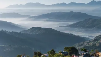
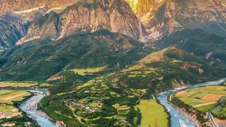
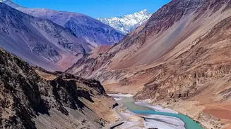
The same tectonic uplift that created the majestic mountains also carved out incredibly steep, narrow valleys. Geologically, the Himalayas are very young mountains, which means their slopes are often composed of fractured, unstable rock and soil. This fragile terrain is highly susceptible to landslides, especially during the annual monsoon season when intense rainfall saturates the ground. From June to September, Nepal receives about 80% of its annual precipitation, and this deluge can turn unstable slopes into fast-moving flows of mud, rock, and debris. The country's topography acts as a funnel, channeling this material into river valleys with destructive speed, often leaving communities below with little to no time to react. This makes landslides and flash floods a recurring and deadly hazard across the nation's hill and mountain regions.
When Rivers Bring Both Life and Ruin
Nepal is crisscrossed by more than 6,000 rivers, which are the lifeblood of the nation, carving fertile plains and providing water for agriculture and hydropower. However, these same river systems pose a significant threat. Fed by both monsoon rains and glacial melt, they swell to enormous sizes, regularly causing devastating floods in the southern Terai plains. But the danger isn't limited to the lowlands. High in the mountains, a newer, more unpredictable threat is growing: Glacial Lake Outburst Floods (GLOFs). As global temperatures rise, Himalayan glaciers are melting at an accelerated rate, forming vast lakes behind natural dams of rock and debris. These moraine dams are inherently unstable and can be breached by earthquakes, avalanches, or simply the pressure of the ever-growing volume of water. A GLOF can release a massive wall of water downstream with little warning, destroying everything in its path, including villages, bridges, and critical infrastructure.
A Compounded and Cascading Risk
The dangers are rarely isolated. A single event, like an earthquake or a period of intense rain, can set off a chain reaction of hazards. An earthquake can trigger landslides, which in turn can block rivers. When the natural dam created by a landslide eventually bursts, it unleashes a catastrophic flash flood downstream. This 'cascading hazard' phenomenon means that a disaster starting high in the mountains can rapidly endanger communities in the valleys and plains far below. This complex interplay of geology, weather, and topography means that over 80% of Nepal's population is exposed to some form of natural hazard risk. The very geography that attracts trekkers and defines the nation's identity is also what creates enormous barriers to responding to disasters once they strike, with mountain roads often being the first infrastructure to be cut off.