






A Landmark Partnership in Space
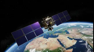
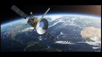
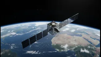
The NASA-ISRO Synthetic Aperture Radar, or NISAR, represents one of the most significant collaborations in the history of space exploration. It is the first satellite mission jointly developed by the two space giants to systematically map our planet.
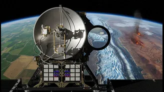
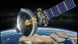
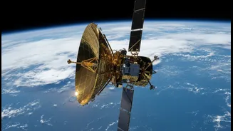
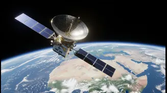
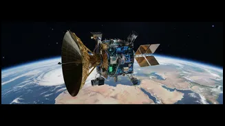
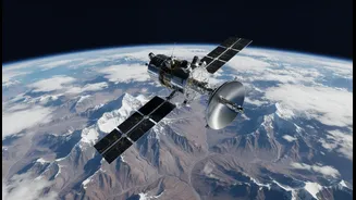
Launched from the Satish Dhawan Space Centre in India, the mission marks a new era of space diplomacy, where international partners join forces to tackle global challenges. The project, with a total cost of around $1.5 billion, involves a clear division of labour that leverages the strengths of both agencies. ISRO provided the satellite's main body (the bus), the launch vehicle (GSLV), and the S-band radar system. NASA contributed the L-band radar, a high-capacity data recorder, and the mission's massive 12-metre reflector antenna. This collaboration not only makes NISAR one of the most expensive Earth-imaging satellites ever built but also a testament to shared scientific goals.
How NISAR Sees the Unseen
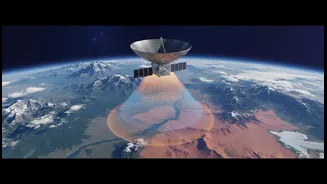
What makes NISAR so powerful is its advanced radar technology. Unlike optical satellites that need daylight and clear skies, NISAR uses Synthetic Aperture Radar (SAR), which can see through clouds, smoke, and darkness. This allows it to monitor Earth's surface continuously, day or night, in any weather. NISAR is the first mission to use two different radar frequencies—the L-band and S-band—simultaneously. Think of it as having two different types of vision. The longer wavelength L-band, provided by NASA, can penetrate through forest canopies to measure changes in vegetation and ground surface below. The shorter wavelength S-band, from ISRO, is excellent for monitoring surface details like crop health and soil moisture. Together, they provide a comprehensive, dynamic picture of our planet, capable of detecting changes in the ground as small as a single centimetre from its orbit 747 kilometres high.
A Watchful Eye on Climate Change
NISAR is poised to become a critical tool in understanding the impacts of climate change. The satellite will scan nearly the entire globe every 12 days, creating an unprecedented time-lapse view of Earth’s ecosystems, ice sheets, and carbon stores. This data will be crucial for monitoring the health of forests and tracking deforestation, helping scientists measure how much carbon is stored in biomass. One of its primary objectives is to observe the world's frozen regions, or cryosphere. By tracking the melting of glaciers and the collapse of ice sheets in Antarctica and Greenland, NISAR will provide vital information for predicting sea-level rise. All data from the mission will be free and openly available to the global scientific community, transforming our ability to model climate change and verify international climate commitments.
Revolutionising Disaster Management for India
For India, NISAR’s capabilities have immediate and life-saving applications. The satellite's ability to detect subtle ground deformation makes it an invaluable tool for disaster management across the subcontinent. It will monitor tectonically active zones in the Himalayas, potentially offering insights into earthquake risks. In landslide-prone areas like the Western Ghats, its radar can see through dense vegetation to detect slope instability, providing early warnings. During monsoon season, NISAR can map the extent of flooding, even under heavy cloud cover, which is critical for rescue and relief efforts. The data will also enhance agricultural monitoring by assessing crop health and soil moisture, which can inform irrigation strategies and crop insurance programs. This detailed, reliable information will directly support national and state disaster management agencies, making communities more resilient.