






Understanding the Need for Precision
Our daily lives are deeply integrated with satellite navigation. We use it for finding directions, tracking deliveries, and hailing cabs. But the standard GPS most of us use has an accuracy of about 5 to 20 metres. While that's great for getting you to the right
street, it’s not enough for applications that demand much higher precision. India has its own regional navigation system, NavIC (Navigation with Indian Constellation), which already offers better accuracy in the Indian subcontinent than standard GPS. However, for the next generation of technology—like autonomous vehicles, precision agriculture, and drone deliveries—we need to move from metre-level to centimetre-level accuracy. This is where systems offering more precise positioning come in. While GRITSS (Geodetic Reference Instrument Transponder for Small Satellites) is a NASA technology demonstration project, the principles behind it highlight the global push towards hyper-accurate positioning. India's own efforts with systems like GAGAN are part of this larger trend.
How Augmentation Creates Accuracy
The key to achieving higher precision lies in augmentation systems. Think of it as a spell-checker for GPS signals. Standalone satellite systems can have errors caused by atmospheric disturbances or slight inaccuracies in satellite clocks and orbits. A Satellite-Based Augmentation System (SBAS) corrects these errors. India's own GAGAN (GPS Aided GEO Augmented Navigation) is a prime example. It works by using a network of precisely-surveyed ground reference stations across the country. These stations receive GPS signals and compare the satellite's position data with their own known, fixed location. By measuring the difference, they calculate a real-time error correction message. This correction is then uplinked to geostationary satellites, which broadcast it back down to receivers on the ground, in aircraft, or at sea. A GAGAN-enabled receiver can then apply these corrections, boosting its accuracy to around 3 metres or better.
The Leap from Metres to Millimetres
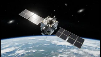
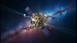
The technology being tested with projects like GRITSS aims for an even more radical improvement: bridging different observation systems to achieve millimetre-level accuracy. GRITSS is a NASA mission designed to link three separate ground-based systems—GPS, Very Long Baseline Interferometry (VLBI) radio telescopes, and Satellite Laser Ranging (SLR)—using a single satellite as a common reference point in space. By having all three systems track one object simultaneously, scientists can eliminate tiny errors that currently exist when trying to combine their data. This helps create a more accurate International Terrestrial Reference Frame, which is the foundational grid for all Earth science. While this is a highly specialised research mission, the technologies it pioneers—like ultra-stable oscillators and geodetic-quality GPS receivers in small packages—will eventually trickle down, enabling more precise commercial applications.
Impact on India's Key Sectors
For India, ultra-precise positioning is not just a scientific curiosity; it's a critical enabler of economic growth. In agriculture, it can guide automated tractors for precision seeding and fertilisation, optimising resource use and increasing crop yields. In logistics, it would allow for hyper-efficient fleet management and make widespread drone and robotic delivery services feasible. For infrastructure projects, it means more accurate mapping and construction. For disaster management, it allows first responders to pinpoint exact locations in emergencies. India's existing NavIC and GAGAN systems already provide significant benefits in these areas. The push towards even greater accuracy will unlock a new level of efficiency and enable services that we are only just beginning to imagine, profoundly impacting India's journey towards becoming a digitally empowered economy.