




A More Powerful Eye in the Sky
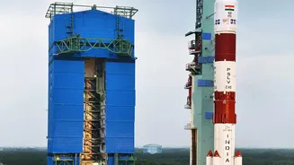
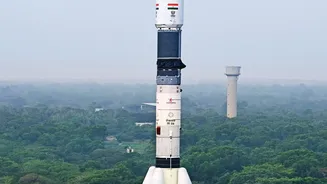
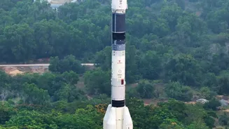
At the heart of this advancement is a sophisticated type of sensor known as a scatterometer. ISRO has a legacy of using these instruments on its Oceansat series of satellites to monitor ocean winds, which are a critical factor in the formation and intensity
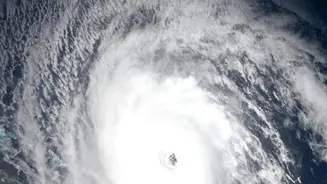
of cyclones. The latest upgrades, part of a continuity mission from previous satellites like Oceansat-2 and SCATSAT-1, represent a significant leap forward. These new-generation sensors provide more precise and frequent data on sea surface wind speeds and direction. This data is indispensable for predicting cyclogenesis (the birth of a cyclone), its track, and its potential intensity. By ensuring a continuous stream of high-quality wind vector data, these upgraded sensors serve as the foundation for more reliable weather forecasting and cyclone detection services.
How Scatterometers Predict Danger
Imagine skipping a stone across a pond. A calm surface results in a smooth, predictable skip, while a choppy surface sends the stone in a different direction. A scatterometer works on a similar principle, but from hundreds of kilometres in space. It sends microwave pulses down to the ocean and measures the 'backscatter', or the signals that bounce back. A calm sea returns a weak signal, while a rough, wind-driven sea with many small waves scatters the pulses more strongly. By analysing the strength and characteristics of these return signals from multiple angles, scientists can accurately calculate both the speed and direction of the winds churning the ocean's surface. This information is the primary fuel for the complex models that predict the size and power of a storm surge—the abnormal rise in sea level that causes coastal flooding during a cyclone.
The Upgrade: What's Changed?
The key enhancements lie in resolution and data processing. Newer scatterometers, like the one aboard Oceansat-3 (also known as EOS-06), are designed to provide data at a higher spatial resolution. This means they can 'see' the ocean in greater detail, distinguishing smaller variations in wind fields that could signal a storm rapidly intensifying. For example, the resolution of wind vector cells can be doubled, moving from a 25 km grid to a more detailed 12.5 km grid. Furthermore, advancements in algorithms and onboard processing mean the data can be turned into usable wind products faster. This improved speed and detail directly translate into more accurate and timely forecasts, a critical advantage when every hour counts.
From Satellite Data to Public Alerts
The raw data from ISRO's satellites is just the first step in a crucial chain of communication. This information is fed into numerical weather prediction models at agencies like the India Meteorological Department (IMD) and the National Centre for Medium Range Weather Forecasting (NCMRWF). These organisations assimilate the satellite wind data to refine their cyclone forecasts. The improved accuracy—which has seen a 30% improvement in recent years partly due to such technologies—allows for more precise impact-based warnings. Instead of generic alerts for a large coastal area, disaster management agencies can issue specific, location-based advisories about the expected height of a storm surge and the exact areas likely to be inundated. This information is then disseminated through a multi-channel system, including the Mausam mobile app and the SACHET platform, reaching millions across the country.
Real-World Impact for Coastal India
For coastal communities in states like Odisha, Andhra Pradesh, West Bengal, and Gujarat, this technological leap has life-saving implications. More accurate storm surge predictions mean more effective and targeted evacuations. It reduces the chances of false alarms, which can lead to 'cry wolf' syndrome and cause people to ignore future warnings. With better forecasts, authorities can pinpoint which villages need to be moved to safety, reducing unnecessary displacement and lowering the economic cost of evacuations. This technology also supports the protection of critical infrastructure and natural buffers like mangroves. Ultimately, this isn't just about better data; it's about building a more resilient nation, better equipped to handle the challenges of an increasingly volatile climate and safeguarding the lives and livelihoods of its most vulnerable citizens.