







A New Standard for Our Planet
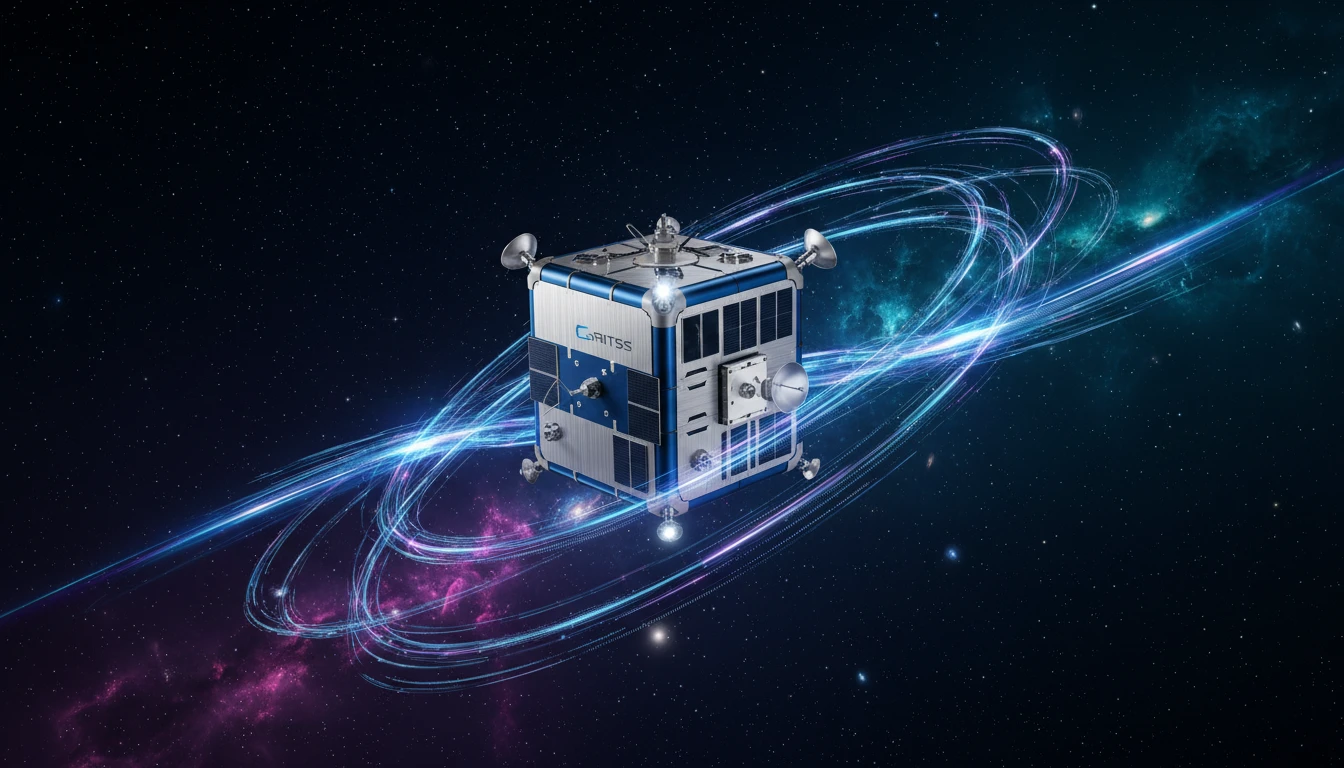
On July 7, 2026, a small satellite with a big job launched into orbit from California. Known as GRITSS, which stands for Geodetic Reference Instrument Transponder for Small Satellites, this compact mission is designed to solve a fundamental problem in Earth
science: making our most advanced measurement systems speak the same language. For decades, scientists have relied on a global, invisible grid to track everything from sea-level rise to the slow drift of continents. This grid, called the International Terrestrial Reference Frame (ITRF), is the foundation for countless applications, including climate monitoring and even your phone's GPS. The fresh hope surrounding GRITSS comes from its potential to perfect this crucial global standard.
The Millimetre-Level Problem
The challenge with the current ITRF is that it’s built by combining data from three different, independent technologies. These are the Global Navigation Satellite System (GNSS), which includes GPS; Very Long Baseline Interferometry (VLBI), which uses radio telescopes to observe distant quasars; and Satellite Laser Ranging (SLR), which bounces lasers off satellites. While each system is incredibly precise, linking them together on the ground has always introduced tiny errors, on the scale of millimetres. These small discrepancies might not sound like much, but when you’re trying to measure sea levels rising by a few millimetres per year, they become a significant source of uncertainty. This is the problem GRITSS was built to solve.
A Unified Reference Point in Space
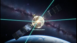
Instead of trying to tie the measurement systems together on the ground, GRITSS acts as a single, unified reference point in space, observable by all three networks. The suitcase-sized CubeSat carries a special payload. It receives signals from GPS satellites and, in real-time, converts and re-broadcasts them on frequencies that the huge radio dishes of the VLBI network can detect. At the same time, it is equipped with a laser retroreflector, a special mirror that allows SLR ground stations to bounce laser beams off it. By serving as a common target in the sky, GRITSS allows scientists to perfectly align the three networks, effectively eliminating the 'site tie' errors that have limited accuracy for years. The goal is to achieve an ITRF with an accuracy of one millimetre, a target set by the Earth Science Decadal Survey.
What This Means for India and the World
While GRITSS is a NASA-led technology demonstration, its benefits are global. A more precise reference frame is a foundational asset that enhances all Earth observation. For India, which has a sophisticated space program and is increasingly focused on using geospatial data for national development, this is particularly relevant. An ultra-accurate grid improves our ability to monitor critical changes related to climate, such as the melting of Himalayan glaciers, changes in groundwater levels, and shifts in weather patterns like the monsoon. It sharpens the data needed for everything from urban planning and disaster management to agricultural forecasting. For the world, GRITSS promises better tracking of global sea-level change, the health of ice sheets in Antarctica and Greenland, and even subtle movements in Earth's crust.
The Mission Ahead
The launch marks the beginning of the GRITSS mission, which is a collaboration between NASA, the University of Massachusetts Lowell, and the Dutch company ISISPACE, which built the satellite. As a technology demonstration, its first job is to prove the concept works. The team will spend the initial phase commissioning the satellite, checking its systems, and beginning the process of calibration. This involves broadcasting signals to specific NASA ground stations in the United States. If successful, the mission could be expanded to include international partners, providing a truly global upgrade to our understanding of Planet Earth and securing a more stable foundation for the next generation of Earth science.