


A New Eye in the Sky
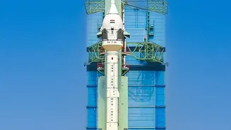
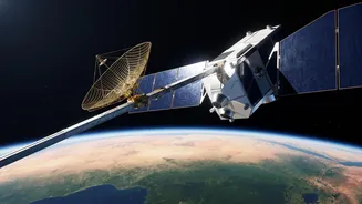
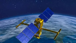
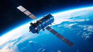
NISAR, which stands for NASA-ISRO Synthetic Aperture Radar, is a groundbreaking Earth observation satellite born from a powerful collaboration between the US and Indian space agencies. Launched in mid-2025, it is one of the most advanced and expensive
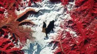
Earth-imaging satellites ever built. Its primary mission is to systematically map our planet, tracking changes in land, ice, and vegetation with unprecedented detail. Unlike optical satellites that are blinded by clouds or darkness, NISAR uses dual-frequency radar (L-band and S-band) that can see through almost any weather, day or night. This allows it to capture a consistent and reliable stream of data, scanning nearly the entire globe every 12 days.
Seeing the Unseen: How Radar Maps Water
NISAR doesn't directly 'see' water underground. Instead, it uses a clever technique called Interferometric Synthetic Aperture Radar (InSAR) to detect tiny, almost imperceptible changes in the height of the ground surface. Think of an aquifer—an underground layer of water-bearing rock or sand—like a sponge. When it is full of water, it helps prop up the land above it. When large amounts of water are pumped out, as is common for agriculture, the aquifer compacts and the ground level can sink slightly, a phenomenon known as subsidence. Conversely, when heavy rains or recharge projects replenish the aquifer, the ground can rise. NISAR is so precise it can measure these movements down to a centimetre, providing a comprehensive map of how groundwater levels are changing across vast areas.
A Game-Changer for Rural India
In India, where agriculture is heavily dependent on borewells, groundwater over-exploitation is a critical issue leading to falling water tables and drought. Traditional monitoring relies on a limited number of physical wells, which provides a sparse and incomplete picture. This is where NISAR offers a revolutionary advantage. It provides wall-to-wall coverage, filling in the massive gaps between monitoring wells. For the first time, authorities can see which specific regions and districts are experiencing the most stress. This data is vital for everything from issuing drought warnings to planning sustainable irrigation and ensuring the long-term health of farming communities. The satellite's ability to monitor soil moisture at a high resolution also directly aids in optimising irrigation and improving crop health.
From Data to Decisions
The raw data from NISAR is just the beginning. Indian institutions like the Indian Space Research Organisation (ISRO) and the National Remote Sensing Centre play a crucial role in processing this information into actionable insights. By creating detailed maps of land subsidence and soil moisture, they can provide state and local governments with the tools needed for better policy-making. This data helps identify areas where groundwater recharge projects, like building check dams or percolation ponds, would be most effective. It also allows for the monitoring of these interventions to see if they are working. This shift from reactive crisis management to proactive, data-driven planning is essential for preventing the irreversible collapse of aquifers, which can happen if subsidence continues for too long.