
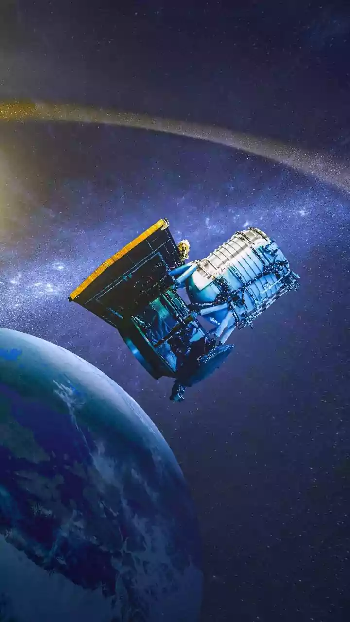





A Game-Changer in a Geostationary Orbit
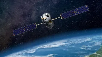
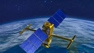
On September 4, 2026, the Indian Space Research Organisation (ISRO) successfully launched the EOS-05 satellite, also known as GISAT-1A, into orbit. This wasn't just another launch; it was the successful deployment of India's first dedicated imaging satellite into a geosynchronous
orbit, roughly 36,000 kilometres above the Earth. Unlike conventional Earth observation satellites that orbit the planet in a low orbit and revisit a location every few days, EOS-05 stays locked over the Indian subcontinent. This gives it the unique ability to act like a persistent, watchful eye, continuously monitoring the same region. This capability is a strategic upgrade, turning what used to be periodic snapshots into a near-live feed of the Indian landmass and surrounding oceans.
Tracking Storms with Unprecedented Speed
The primary advantage of EOS-05 is its ability to track fast-developing weather events. The satellite is designed to image select areas as frequently as every five minutes and can cover the entire Indian landmass every half hour. This high-frequency imaging is invaluable for monitoring short-lived, high-impact events like cloudbursts, cyclones, and flash floods. For cyclone tracking, this means authorities can observe the storm's formation and intensification in near real-time, allowing for more accurate predictions and timely evacuations, a significant improvement over previous capabilities. This constant vigilance is crucial for disaster management, helping authorities to plan relief efforts and issue warnings with greater confidence.
From Monsoon Clouds to Agricultural Yields
Beyond disaster management, EOS-05 is poised to transform agricultural planning. The satellite carries advanced multi-spectral and hyperspectral imaging sensors that see beyond the visible spectrum. These instruments can analyse everything from vegetation health and soil moisture to cloud patterns, providing a comprehensive picture of the agricultural landscape. By monitoring the monsoon's progress and its distribution across the country, policymakers and agricultural bodies can more accurately forecast crop yields. This data helps in making informed decisions about food grain storage, import/export policies, and resource allocation. Programs like Krishi-DSS, a decision support system for farmers, can leverage this data to provide timely advice on irrigation and crop management, ultimately boosting productivity and farmer incomes.
A Resilient Mission Five Years in the Making
The success of EOS-05 is particularly significant given its history. It serves as a replacement for the EOS-03 (or GISAT-1) satellite, which was lost in a launch failure in August 2021 due to an anomaly in the GSLV rocket's cryogenic upper stage. It took ISRO five years to build and launch this replacement, a period that highlighted the challenges of developing such advanced, strategic assets. The successful launch not only restores a critical capability but also serves as a major morale boost for the agency, validating the reliability of its GSLV rocket and marking its first successful orbital launch of 2026 after some earlier setbacks.
The Broader Network of India's Eyes in the Sky
While EOS-05 is a powerful new addition, it joins a robust constellation of existing ISRO satellites already dedicated to Earth observation and weather forecasting. The INSAT series (including INSAT-3D, 3DR, and the newer 3DS) has long been the backbone of India's weather forecasting, providing crucial data for the India Meteorological Department (IMD). Other satellites like the Oceansat and Resourcesat series contribute vital information on sea conditions, land use, and resource management. Together, these satellites form a multi-layered system that monitors everything from cyclone formation in the Bay of Bengal to glacier melt in the Himalayas, ensuring India has the data needed to protect its people and manage its resources in an era of increasing climate uncertainty.