

The View from Above
For generations, farmers have relied on walking their fields to check on their crops—a method that is time-consuming and often reveals problems only after they've become severe. Today, precision agriculture offers a new way. By leveraging advanced technology,
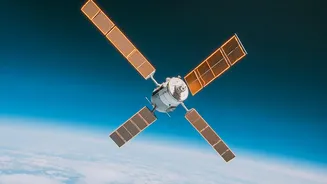
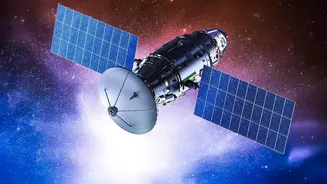
farmers can make more informed and precise decisions. A key part of this is satellite farming, which uses orbiting sensors to provide real-time data on crop health, soil conditions, and weather patterns. This technology gives farmers a comprehensive view of their land, allowing them to monitor vast areas efficiently and spot variations that the naked eye might miss from the ground. It is a shift from reactive problem-solving to proactive management, enabling farmers to apply resources exactly where and when they are needed.
The Science Behind the Image
The magic of satellite monitoring lies in its ability to see beyond what humans can. Satellites equipped with multispectral sensors capture images across different wavelengths of light, including visible and near-infrared (NIR). Healthy plants, rich in chlorophyll, are very effective at photosynthesis. They absorb a lot of red light but reflect a large amount of near-infrared light. Stressed, diseased, or sparse vegetation does the opposite, reflecting more red light and less NIR. Scientists use this difference to calculate a value called the Normalized Difference Vegetation Index, or NDVI. This index, which ranges from -1 to +1, provides a standardized measure of plant health and density. An NDVI map of a field will show healthy areas in vibrant green, while stressed zones may appear yellow or red, highlighting problem spots before they are visible on the ground.
From Data to Decisions
Raw satellite data is powerful, but its true value is unlocked when translated into actionable insights. An NDVI map showing a patch of low vegetation might prompt a farmer to investigate that specific area. The cause could be anything from a pest infestation or a nutrient deficiency to an irrigation system failure. By identifying these issues early, farmers can take targeted action, such as applying pesticides only to the affected zone or adjusting water levels. This data-driven approach is at the heart of precision agriculture. Beyond just spotting problems, satellite imagery helps in overall farm management. It can be used to forecast crop yields, assess drought risk, and plan land use more effectively, leading to better-informed decisions from planting to harvest.
Benefits for the Modern Farmer
The adoption of satellite technology brings tangible benefits. Studies have shown that farmers using satellite imagery can see significant increases in yield. By optimising the use of water, fertilisers, and pesticides, they not only boost their output but also reduce costs and minimise environmental impact. This efficient resource management is a cornerstone of sustainable farming. Furthermore, the ability to detect stress from pests or diseases early can prevent widespread crop loss. For large farms with hundreds of hectares, this remote monitoring saves invaluable time and resources that would otherwise be spent on manual scouting. In a world facing climate change, satellite data also helps farmers build resilience by tracking long-term environmental trends and preparing for extreme weather events like floods and droughts.
The Indian Context: Promise and Hurdles
In India, where agriculture employs a vast portion of the population on small landholdings, satellite technology holds immense promise. Government bodies like the Indian Space Research Organisation (ISRO) are already using satellite data for agricultural applications, including weather forecasting and disaster management. Platforms are emerging that combine satellite imagery with AI to deliver simple, actionable advice to farmers' mobile phones. This allows a farmer in a remote village to receive the same calibre of data intelligence as a large commercial farm. However, challenges remain. High costs, poor rural internet connectivity, and a lack of awareness and training can be significant barriers to widespread adoption for small farmers. Making the data easily understandable and accessible is key to empowering every farmer with this transformative technology.