
An All-Weather Eye in the Sky
During India's monsoon season, dense cloud cover often blinds traditional optical satellites, hiding the very disasters they are supposed to track. Floods can spread unseen, and the true extent of a landslide can remain a mystery. This is where the NISAR
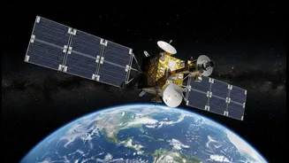
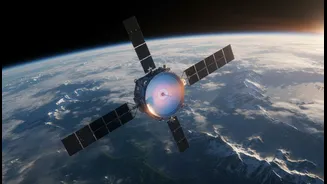
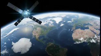
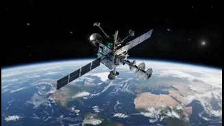
(NASA-ISRO Synthetic Aperture Radar) mission changes the game. Launched in July 2025, this pioneering collaboration between the Indian Space Research Organisation (ISRO) and NASA is the world's first satellite to use dual-frequency radar to map the Earth. Unlike optical instruments that need clear skies and daylight, NISAR’s radar can peer through clouds, rain, and darkness, providing a reliable stream of data day or night. The satellite carries two types of radar: an L-band system from NASA and an S-band system from ISRO. Together, they create incredibly detailed images of our planet’s surface, capable of detecting changes as small as a centimetre.
The Power of Radar Vision
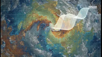
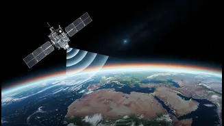
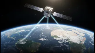
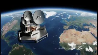
So, how does it see through clouds? NISAR uses a technology called Synthetic Aperture Radar (SAR). Instead of capturing light like a camera, it sends out microwave signals towards the Earth and measures the echoes that bounce back. These microwaves have wavelengths long enough to pass through atmospheric obstacles like clouds, smoke, and haze. The L-band radar, with a longer wavelength of 24 cm, can even penetrate through forest canopies to measure what's happening on the ground underneath. The S-band radar is better suited for monitoring changes in vegetation and soil moisture. This dual-frequency approach allows scientists to get a comprehensive picture of surface changes. Mounted on a massive 12-metre-wide reflector antenna, the largest of its kind ever launched by NASA, these instruments can scan a vast 240-kilometre-wide strip of land at once.
The 12-Day Game-Changer
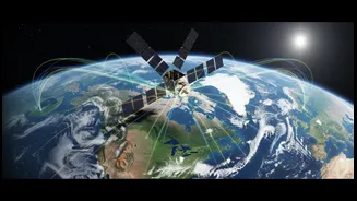
What makes NISAR truly revolutionary is not just what it can see, but how often it sees it. The satellite circles the Earth in a sun-synchronous orbit from a height of 747 kilometres, allowing it to revisit and image nearly every land and ice surface on the planet twice every 12 days. This consistent, repeating cycle of observation creates a time-lapse movie of the entire globe. Instead of just seeing a single snapshot of a disaster, authorities can now track its evolution. They can watch floodwaters rise and recede, monitor the subtle ground deformation that might signal an impending volcanic eruption or landslide, and assess damage to infrastructure with unprecedented speed and accuracy. This reliable, repeating dataset is a goldmine for scientists and disaster management agencies, providing a baseline to understand both slow-moving changes and sudden events.
A Boost for India's Future
For a country as geographically diverse and hazard-prone as India, NISAR's capabilities are transformative. ISRO will use the data to monitor agricultural health, tracking crop growth and soil moisture to improve yields. The mission will provide invaluable information for managing water resources and monitoring the health of fragile ecosystems like wetlands and forests. Perhaps most critically, it will bolster India's disaster management framework. From monitoring the Himalayan glaciers and glacial lakes to tracking cyclones along the coast and detecting seismic shifts in earthquake-prone zones, NISAR provides a powerful new tool for protecting lives and property. ISRO will receive and process S-band data over India, ensuring the information is readily available for national applications.